Difference between revisions of "Ambodiala"
From MadaCamp
CampMaster (talk | contribs) m (Text replacement - "|searchmarkers=all " to "") |
CampMaster (talk | contribs) m (Text replacement - "service=google" to "service=leaflet") |
||
| (One intermediate revision by one other user not shown) | |||
| Line 5: | Line 5: | ||
-14.415217, 50.093683~'''Ambodiala'''~~; | -14.415217, 50.093683~'''Ambodiala'''~~; | ||
|type=satellite | |type=satellite | ||
| − | |service= | + | |service=leaflet |
|width=auto | |width=auto | ||
|height=400 | |height=400 | ||
| Line 13: | Line 13: | ||
}} | }} | ||
</div> | </div> | ||
| − | |||
| − | |||
| − | |||
| − | |||
== Photos == | == Photos == | ||
Latest revision as of 19:27, 1 May 2025
Ambodiala is a small village located by the Lokoho River at the east coast of Madagascar.
Loading map...


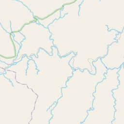


Leaflet | © OpenStreetMap contributors
Photos
View all Ambodiala photos
Additional information
Bike ride Sambava-Ofaina-Sambava - 78 kilometres
