Difference between revisions of "Antakotako"
From MadaCamp
CampMaster (talk | contribs) m (Text replacement - "service=google" to "service=leaflet") |
|||
| Line 25: | Line 25: | ||
-15.163605, 50.087526~'''Antakotako'''~~; | -15.163605, 50.087526~'''Antakotako'''~~; | ||
|type=satellite | |type=satellite | ||
| − | |service= | + | |service=leaflet |
|width=auto | |width=auto | ||
|height=400 | |height=400 | ||
Latest revision as of 19:25, 1 May 2025
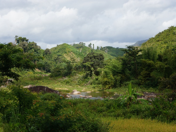
Antakotako is a village located on the Masoala Peninsula in the north east of Madagascar. The village has several shops, some of which are well stocked.

| ||

|

|

|
Recommended for a short stop to rest and eat some lunch or simply to hide from the occasional rain shower on the trek from Maroantsetra to Antalaha is the Bien Venu Hotel at the northern end of the village.

| ||

|

|

|
Loading map...


Leaflet | © OpenStreetMap contributors
GPS Coordinates
S 15°09.912'
E050°05.249'
173m elevation
Photos
View all Antakotako photos
Additional information
- 5 days trek from Maroantsetra to Antalaha
