Difference between revisions of "Betioky"
From MadaCamp
CampMaster (talk | contribs) m (Text replacement - "service=google" to "service=leaflet") (Tags: Mobile edit, Mobile web edit) |
|||
| (8 intermediate revisions by 2 users not shown) | |||
| Line 1: | Line 1: | ||
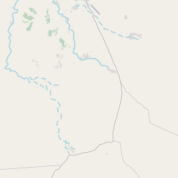
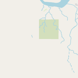
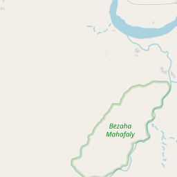
'''Betioky is a Malagasy urban commune, capital of the district of Betioky, located in the central-western part of the Atsimo-Andrefana Region.''' | '''Betioky is a Malagasy urban commune, capital of the district of Betioky, located in the central-western part of the Atsimo-Andrefana Region.''' | ||
| − | <div style="max-width: | + | {| class="imageTable" |
| + | |- | ||
| + | |colspan="3" | [[File:Betioky001.png|600px]] | ||
| + | |- | ||
| + | |[[File:Betioky002.png|196px]] | ||
| + | |align="center"|[[File:Betioky003.png|196px]] | ||
| + | |align="right"|[[File:Betioky004.png|196px]] | ||
| + | |} | ||
| + | |||
| + | Most of the shops and hotels in Betioky are concentrated on both sides of the national road, and many [[taxi-brousse]] passing by will choose to stop and eat here. In the morning, there is also a shuttle bus to [[Tulear]], but pay attention to the exact departure time: it is often delayed by 1-4 hours. A stone pavement is being built in the village. Relatively speaking, the current national road is often dusty. | ||
| + | |||
| + | <div style="max-width:600px;"> | ||
{{#display_map: | {{#display_map: | ||
-23.719966, 44.381309~'''Betioky (Betioky)'''~~; | -23.719966, 44.381309~'''Betioky (Betioky)'''~~; | ||
|type=satellite | |type=satellite | ||
| − | |service= | + | |service=leaflet |
|width=auto | |width=auto | ||
|height=400 | |height=400 | ||
| Line 14: | Line 25: | ||
}} | }} | ||
</div> | </div> | ||
| − | |||
| − | |||
| − | |||
| − | |||
| − | |||
| − | |||
| − | |||
| − | |||
| − | |||
Latest revision as of 19:10, 1 May 2025
Betioky is a Malagasy urban commune, capital of the district of Betioky, located in the central-western part of the Atsimo-Andrefana Region.

| ||

|

|

|
Most of the shops and hotels in Betioky are concentrated on both sides of the national road, and many taxi-brousse passing by will choose to stop and eat here. In the morning, there is also a shuttle bus to Tulear, but pay attention to the exact departure time: it is often delayed by 1-4 hours. A stone pavement is being built in the village. Relatively speaking, the current national road is often dusty.
Loading map...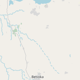


")
Leaflet | © OpenStreetMap contributors
