Difference between revisions of "Mandena"
From MadaCamp
CampMaster (talk | contribs) |
CampMaster (talk | contribs) |
||
| (2 intermediate revisions by the same user not shown) | |||
| Line 26: | Line 26: | ||
|- | |- | ||
|[[File:Marojejy_National_Park_204.jpg|196px]] | |[[File:Marojejy_National_Park_204.jpg|196px]] | ||
| − | |align="center"|[[File: | + | |align="center"|[[File:Marojejy_National_Park_187.jpg|196px]] |
|align="right"|[[File:Marojejy_National_Park_242.jpg|196px]] | |align="right"|[[File:Marojejy_National_Park_242.jpg|196px]] | ||
|- | |- | ||
|} | |} | ||
| + | |||
| + | <HTML5video type="youtube" width="600" height="338">weZFw8q7PI8</HTML5video> | ||
<div style="max-width:600px;"> | <div style="max-width:600px;"> | ||
| Line 49: | Line 51: | ||
E049°48.939'<br> | E049°48.939'<br> | ||
85m elevation | 85m elevation | ||
| + | |||
| + | == Additional information == | ||
| + | |||
| + | * [[Trekking to the Summit of Marojejy]] | ||
| + | * [[Marojejy National Park]] | ||
Latest revision as of 17:13, 26 December 2023
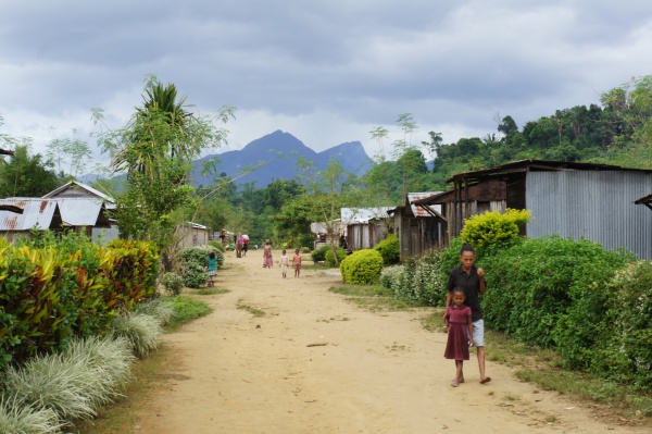
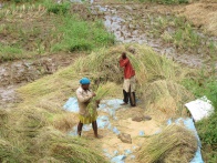
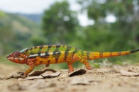
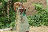
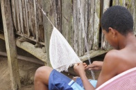
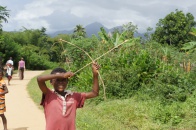
The village of Mandena is located in the northeast of Madagascar, just at the border of Marojejy National Park. From Mandena it is a 2.9km walk along a trail to the park entrance.
| ||
|

|
|
|
|

|

|
|
|

|
|

|

|

|

|

|

|
|
Loading map...
GPS Coordinates
S 14°28.718'
E049°48.939'
85m elevation