Difference between revisions of "Andrakadilana"
From MadaCamp
CampMaster (talk | contribs) |
CampMaster (talk | contribs) m (Text replacement - "<googlemap version="0.9" (.*)>" to "<googlemap version="0.9" $1 style="width:100%;max-width:600px;">") |
||
| Line 29: | Line 29: | ||
|} | |} | ||
| − | <googlemap version="0.9" lat="-15.214933" lon="50.075716" zoom="17" controls="large"> | + | <googlemap version="0.9" lat="-15.214933" lon="50.075716" zoom="17" controls="large" style="width:100%;max-width:600px;"> |
-15.215505, 50.074861 | -15.215505, 50.074861 | ||
Andrakadilana | Andrakadilana | ||
Revision as of 00:29, 6 September 2016
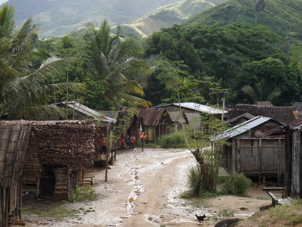
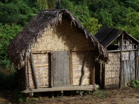
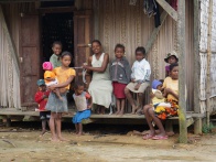
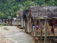
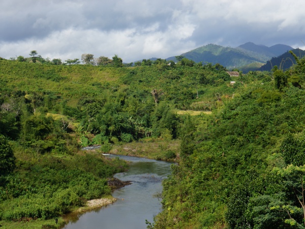
The village of Andrakadilana is located on the Masoala Peninsula along an old "smuggler's path", connecting Maroantsetra with Antalaha.
| ||
|
|
|
| ||
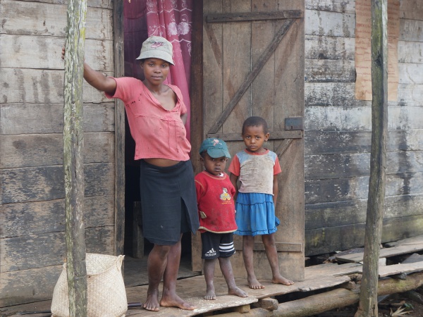
A simple restaurant named Hotel Fitiavana serving Malagasy rice meals and coffee can be found at the northern entrance of the village.

| ||

|

|

|

|

|

|
| ||
GPS Coordinates
S 15°12.952'
E050°04.482'
188m elevation
View all Andrakadilana photos