Difference between revisions of "Vinanivao"
From MadaCamp
CampMaster (talk | contribs) |
|||
| Line 1: | Line 1: | ||
| + | {| class="imageTable" | ||
| + | |- | ||
| + | |colspan="3" | [[File:Vinanivao 004.jpg|600px]] | ||
| + | |- | ||
| + | |[[File:Vinanivao 059.jpg|196px]] | ||
| + | |align="center"|[[File:Vinanivao 058.jpg|196px]] | ||
| + | |align="right"|[[File:Vinanivao 041.jpg|196px]] | ||
| + | |- | ||
| + | |[[File:Vinanivao 005.jpg|196px]] | ||
| + | |align="center"|[[File:Vinanivao 002.jpg|196px]] | ||
| + | |align="right"|[[File:Vinanivao 026.jpg|196px]] | ||
| + | |} | ||
| + | |||
* long stretched harbour village, boats coming from/going to Maroantsetra | * long stretched harbour village, boats coming from/going to Maroantsetra | ||
Revision as of 20:27, 10 August 2016
| ||
|
|

|

|
|

|
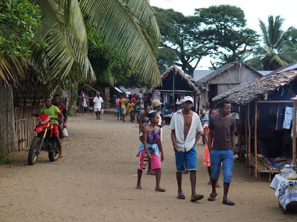
- long stretched harbour village, boats coming from/going to Maroantsetra
- located in a bay next to a river
- vinany = the estuary of a river at the sea / vao = Malagasy name for a fish
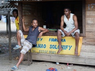
- many small shops and market stalls along the main road selling all kind of needy things (food, cloth, mobile phones, hardware, bike repair, farming, cooking utensils, liquor shops, ...)
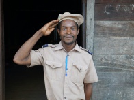
- Primary School
- very basic hotel and restaurant directly at the harbour
- better hotel is a 10 min walk out of the village direction north along the road to Antalaha: 10 bungalows, shared cold water shower/toilet, 10,000 Ariary (2015)
- from here transport via motorcycle available (moto rapid) - towards direction Antalaha, usually 3 people on one bike
- small islands in the bay
GPS coordinates
S 15°52.618'
E050°16.517'
17m elevation
Additional information
- View all Vinanivao photos
- Maroantsetra Antalaha trek around the Masoala peninsula - The small town of Vinanivao lies on the path sneaking around the Masoala Peninsula.