Difference between revisions of "Anovandrano"
From MadaCamp
| Line 1: | Line 1: | ||
'''Anovandrano is situated along a river at the south eastern coast of the Masoala Peninsula. The village is not directly at the sea.''' | '''Anovandrano is situated along a river at the south eastern coast of the Masoala Peninsula. The village is not directly at the sea.''' | ||
| − | |||
| − | |||
{| class="imageTable" | {| class="imageTable" | ||
| Line 18: | Line 16: | ||
|- | |- | ||
|} | |} | ||
| + | |||
| + | In the centre of the village is a FJKM church - ''Fiangonan'i Jesoa Kristy eto Madagasikara'' ([http://www.oikoumene.org/en/member-churches/church-of-jesus-christ-in-madagascar-fjkm Church of Jesus Christ in Madagascar]). | ||
<googlemap version="0.9" lat="-15.812094" lon="50.288506" zoom="15" controls="large"> | <googlemap version="0.9" lat="-15.812094" lon="50.288506" zoom="15" controls="large"> | ||
Revision as of 20:31, 12 August 2016
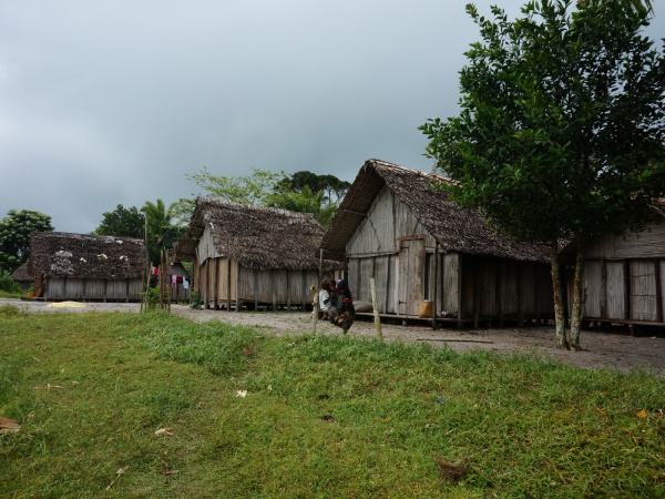
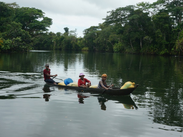
Anovandrano is situated along a river at the south eastern coast of the Masoala Peninsula. The village is not directly at the sea.
| ||

|

|
|
|

|

|
| ||
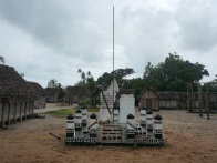
In the centre of the village is a FJKM church - Fiangonan'i Jesoa Kristy eto Madagasikara (Church of Jesus Christ in Madagascar).
GPS coordinates
S 15°48.912'
E050°17.186'
21m elevation
Additional information
- View all Anovandrano photos
- Maroantsetra Antalaha trek around the Masoala peninsula - The village of Anovandrano lies on the path sneaking around the Masoala Peninsula.