Difference between revisions of "Diego Suarez to Cap Diego by bike"
| Line 56: | Line 56: | ||
[[Image:Diego_Suarez_to_Cap_Diego_by_bike_070.jpg|left|70px]] [[Cap Diego]] | [[Image:Diego_Suarez_to_Cap_Diego_by_bike_070.jpg|left|70px]] [[Cap Diego]] | ||
</googlemap> | </googlemap> | ||
| + | |||
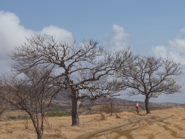
| + | * 5 hours with many stops to enjoy the views and escape the heat | ||
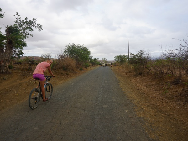
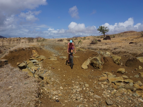
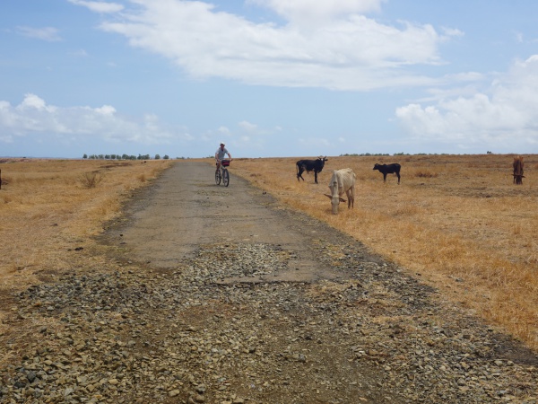
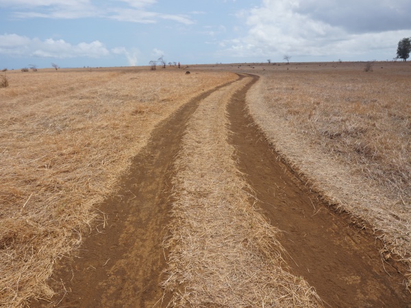
| + | * all kinds of road: small gravel road, large gravel road, dirt road, old asphalt road, trail | ||
| + | * some road sections are impassable, better to push the bike | ||
| + | * depending on the season, the weather can be very hot and very windy | ||
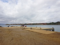
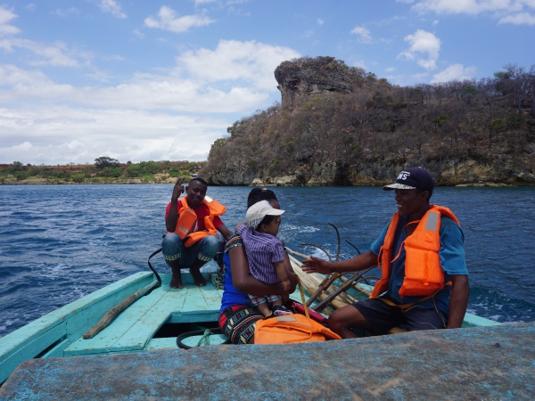
| + | * regular boat service from between Cap Diego and Diego Suarez (2,000 Ariary per person in 2017) | ||
Revision as of 07:13, 18 December 2017
- 5 hours with many stops to enjoy the views and escape the heat
- all kinds of road: small gravel road, large gravel road, dirt road, old asphalt road, trail
- some road sections are impassable, better to push the bike
- depending on the season, the weather can be very hot and very windy
- regular boat service from between Cap Diego and Diego Suarez (2,000 Ariary per person in 2017)
Antsiranana - Diego Suarez
Google: 12°17'15.4"S 49°17'29.5"E
Garmin: -12.287617, 49.291534
Plaine d'Anamakia
Google: 12°19'29.5"S 49°15'25.3"E
Garmin: -12.324852, 49.25703
Anamakia
Google: 12°19'34.3"S 49°14'47.2"E
Garmin: -12.326198, 49.246456
Salines d'Antsahampano
Google: 12°19'43.8"S 49°12'48.3"E
Garmin: -12.328835, 49.213407
| ||
|

|
|
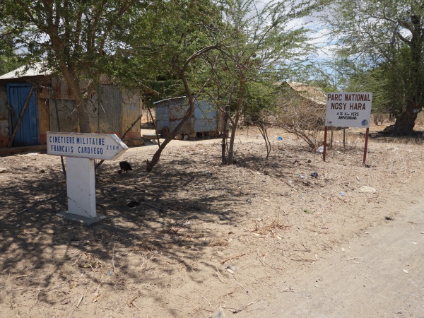
crossing with police checkpoint
turn right
21km to Cap Diego
16km to Nosy Hara National Park via Ampasindava
Google: 12°19'29.5"S 49°11'20.3"E
Garmin: -12.324849, 49.188979
| ||
|
|
|
Google: 12°18'43.5"S 49°11'17.5"E
Garmin: -12.312076, 49.188192
Google: 12°17'58.4"S 49°11'09.8"E
Garmin: -12.299552, 49.186046
Google: 12°17'58.4"S 49°11'09.8"E
Garmin: -12.299552, 49.186046
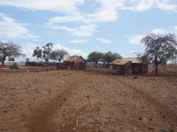
crossing with some houses
Google: 12°17'25.9"S 49°10'51.2"E and 12°17'26.0"S 49°10'51.2"E
Garmin: -12.290536, 49.180897 and -12.290541, 49.180890
| ||
|
|
|
Google: 12°16'59.8"S 49°10'55.6"E
Garmin: -12.283275, 49.182120
Google: 12°16'10.2"S 49°11'24.3"E
Garmin: -12.269507, 49.190078
Google: 12°16'07.4"S 49°11'24.8"E
Garmin: -12.268729, 49.190218
Google: 12°15'58.3"S 49°11'45.1"E
Garmin: -12.266181, 49.195869
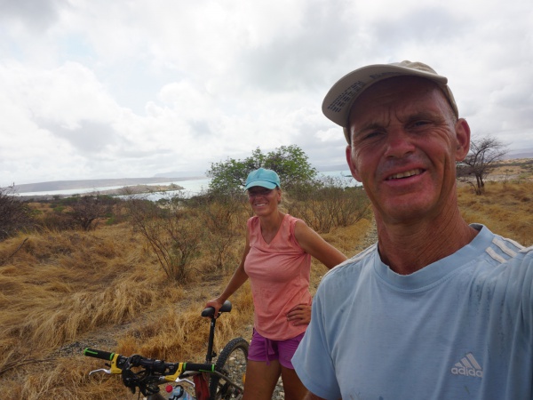
| ||
|
|
|
Google: 12°15'44.0"S 49°11'36.4"E
Garmin: -12.262233, 49.193432
Google: 12°15'30.8"S 49°11'52.1"E
Garmin: -12.258555, 49.197791
Google: 12°14'59.2"S 49°12'05.4"E
Garmin: -12.249763, 49.201505
Google: 12°14'51.1"S 49°12'07.4"E
Garmin: -12.247537, 49.202063
Google: 12°14'43.7"S 49°12'09.7"E
Garmin: -12.245475, 49.202699
crossing
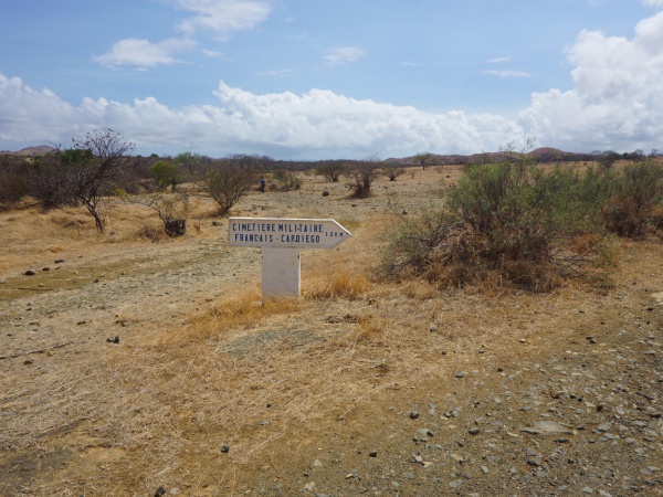
turn right direction Cap Diego and French Military Cemetery (Cimetière Militaire Français) - 10km
Google: 12°14'41.6"S 49°12'09.0"E
Garmin: -12.244884, 49.202488
Google: 12°14'44.0"S 49°12'16.5"E
Garmin: -12.245565, 49.204569
Google: 12°14'49.1"S 49°12'34.7"E
Garmin: -12.246976, 49.209639
|
|
|
Google: 12°14'55.5"S 49°12'59.3"E
Garmin: -12.248743, 49.216482
| ||
|
|
|
Google: 12°14'46.5"S 49°13'24.9"E
Garmin: -12.246247, 49.223587
Google: 12°15'01.5"S 49°13'36.4"E
Garmin: -12.250409, 49.226782
Google: 12°15'11.0"S 49°13'44.2"E
Garmin: -12.253066, 49.228956
Google: 12°15'14.6"S 49°13'49.2"E
Garmin: -12.254055, 49.230331
Google: 12°15'01.0"S 49°14'30.0"E
Garmin: -12.250269, 49.241679
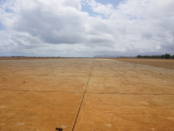
Military airbase Andrakaka
Google: 12°14'57.9"S 49°14'42.2"E
Garmin: -12.249429, 49.245055
Google: 12°14'51.1"S 49°15'18.3"E
Garmin: -12.247519, 49.255075
Google: 12°14'52.2"S 49°15'33.4"E
Garmin: -12.247840, 49.259268
Google: 12°14'54.5"S 49°16'17.1"E
Garmin: -12.248460, 49.271411
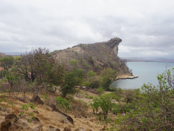
Cap Diego
Google: 12°15'21.9"S 49°16'49.2"E
Garmin: -12.256091, 49.280334
| ||
|

|
|
|
|
|
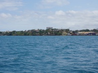
Back to Diego Suarez by boat
| ||
|
|
|
