Difference between revisions of "Ambodiforaha"
From MadaCamp
CampMaster (talk | contribs) |
CampMaster (talk | contribs) |
||
| Line 19: | Line 19: | ||
[[File:Ambodiforaha_019.jpg|600px]] | [[File:Ambodiforaha_019.jpg|600px]] | ||
[[File:Ambodiforaha_020.jpg|600px]] | [[File:Ambodiforaha_020.jpg|600px]] | ||
| − | + | [[File:Ambodiforaha_021.jpg|600px]] | |
| + | [[File:Ambodiforaha_022.jpg|600px]] | ||
| + | [[File:Ambodiforaha_023.jpg|600px]] | ||
| + | [[File:Ambodiforaha_024.jpg|600px]] | ||
| + | [[File:Ambodiforaha_025.jpg|600px]] | ||
| + | [[File:Ambodiforaha_026.jpg|600px]] | ||
| + | [[File:Ambodiforaha_027.jpg|600px]] | ||
| + | [[File:Ambodiforaha_028.jpg|600px]] | ||
| + | [[File:Ambodiforaha_029.jpg|600px]] | ||
| + | [[File:Ambodiforaha_030.jpg|600px]] | ||
<googlemap version="0.9" lat="-15.713699" lon="49.961472" zoom="17" controls="large" controls="large" style="width:100%;max-width:600px;"> | <googlemap version="0.9" lat="-15.713699" lon="49.961472" zoom="17" controls="large" controls="large" style="width:100%;max-width:600px;"> | ||
Revision as of 18:01, 25 June 2018
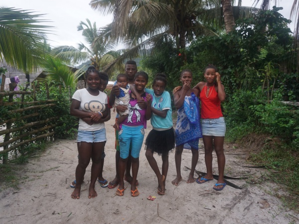
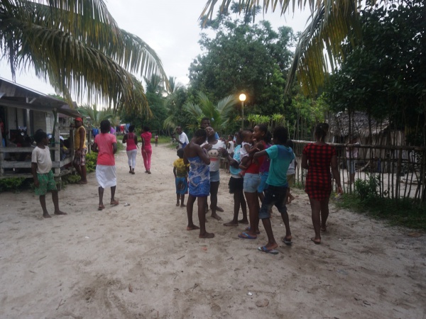
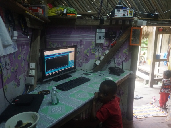
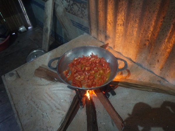
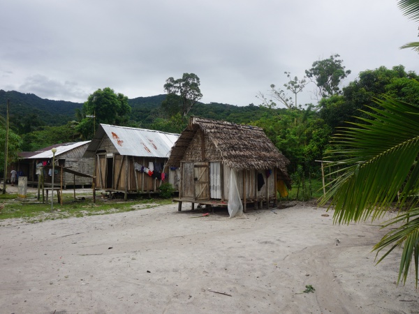
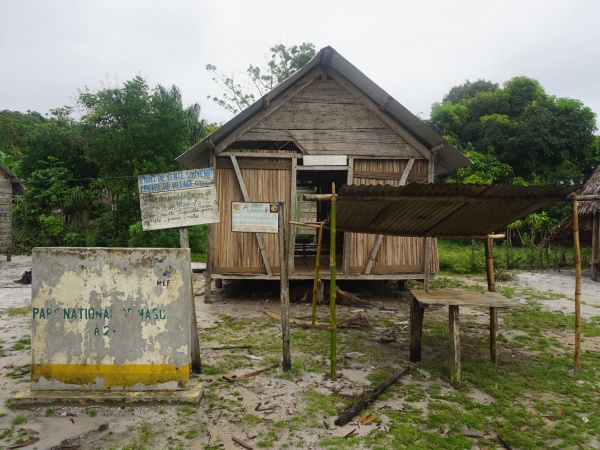
The next village south of Ambodiforaha is Marofototra and the next village north is Ambanizana. A national park office between Ambanizana and Ambodiforaha is located at the geo-cordinates S 15°40.890' E049°57.443'.
