Difference between revisions of "Sambava to Farihy Ampasimbato by bike"
From MadaCamp
CampMaster (talk | contribs) |
CampMaster (talk | contribs) |
||
| Line 1: | Line 1: | ||
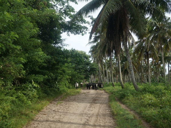
[[File:Sambava_to_Farihy_Ampasimbato_001.jpg|600px]] | [[File:Sambava_to_Farihy_Ampasimbato_001.jpg|600px]] | ||
| − | |||
<googlemap version="0.9" lat="-14.188738" lon="50.106371" height="800" controls="large" zoom="12" style="width:100%;max-width:600px;"> | <googlemap version="0.9" lat="-14.188738" lon="50.106371" height="800" controls="large" zoom="12" style="width:100%;max-width:600px;"> | ||
Revision as of 14:37, 8 March 2020
Tour data
Distance: 24.6km
Time: 4 hours, 24 minutes
Average speed: 5.6km p/hour
Minimum Elevation: 11 metres
Maximum Elevation: 20 metres
Total climb: 37 metres
Total descent: 22 metres
