Difference between revisions of "Playa de la Batterie"
From MadaCamp
CampMaster (talk | contribs) m (Text replacement - "<googlemap version="0.9" (.*)>" to "<googlemap version="0.9" $1 style="width:100%;max-width:600px;">") |
|||
| Line 20: | Line 20: | ||
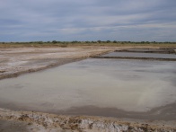
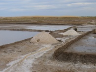
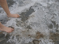
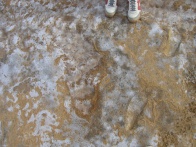
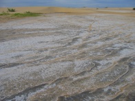
Water ways and small various canals that wash the tidal water back and forth across the grounds produce natural sea salt. | Water ways and small various canals that wash the tidal water back and forth across the grounds produce natural sea salt. | ||
| − | <googlemap version="0.9" lat="-23.35512" lon="43.637116" zoom="16" scale="yes" controls="large"> | + | <googlemap version="0.9" lat="-23.35512" lon="43.637116" zoom="16" scale="yes" controls="large" style="width:100%;max-width:600px;"> |
-23.356041, 43.637298 | -23.356041, 43.637298 | ||
Light tower | Light tower | ||
</googlemap> | </googlemap> | ||
Revision as of 22:57, 5 September 2016
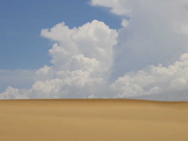
Playa de la Batterie is a beach stretch just north of Tulear with some large sand dunes. The area can be reached by an approximately 4-kilometre walk from the town centre and across some salt production fields in the direction of a light tower.
| ||
|
|
|
|
|
|
|
|
|
Water ways and small various canals that wash the tidal water back and forth across the grounds produce natural sea salt.