Difference between revisions of "Andapa road construction monument"
From MadaCamp
CampMaster (talk | contribs) (→Related information) |
|||
| Line 35: | Line 35: | ||
</div> | </div> | ||
| − | == | + | == Further information == |
* [[Andapa]] | * [[Andapa]] | ||
* [[Sambava to Andapa by bike]] | * [[Sambava to Andapa by bike]] | ||
| + | |||
| + | |||
<!--* [[Media:Andapa_road_construction_monument.zip|Andapa_road_construction_monument.zip]]--> | <!--* [[Media:Andapa_road_construction_monument.zip|Andapa_road_construction_monument.zip]]--> | ||
Revision as of 12:49, 13 September 2022
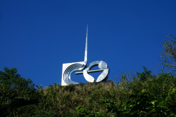
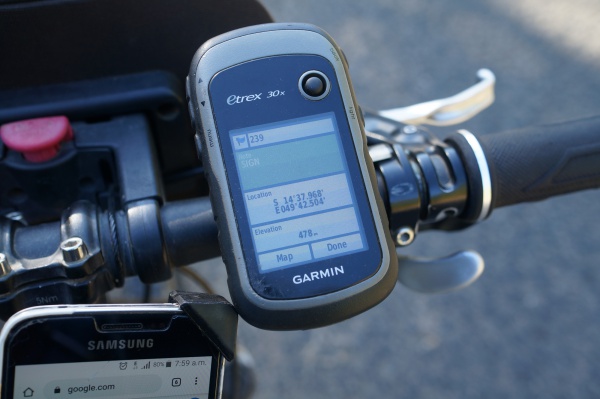
When travelling to Andapa, up and above the road to the left at S 14°37.968' E049°42.404 and at an altitude of 500 metres, a monument built by the Italian contractor that were constructing the road between Andapa and Sambava in mid-1960 can be seen.
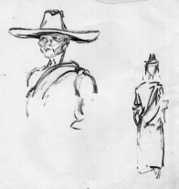
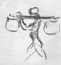
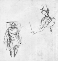
The road took six years to complete including the construction of heavy bridges crossing rivers and valleys. The circular arm-shaped part of the monument signifies the strength of the porters carrying heavy equipment and materials and the upwards pointing needle represents the way ahead.

| ||
|
|
|
The location served as a coffee stop for construction workers after having reached the road's peak coming from Andapa.
The monument is located Between Masiaposa and Andrakata.
Loading map...
Further information
