Difference between revisions of "Ambohidahy"
From MadaCamp
| Line 1: | Line 1: | ||
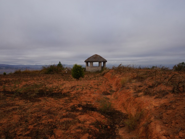
[[File:Ambohidahy_001.jpg|600px]] | [[File:Ambohidahy_001.jpg|600px]] | ||
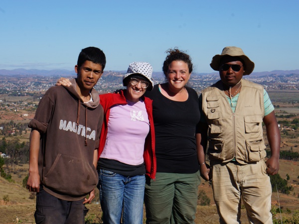
| − | <googlemap version="0.9" lat="-18. | + | [[File:Ambohidahy_002.jpg|600px]] |
| − | -18. | + | |
| + | <googlemap version="0.9" lat="-18.764881" lon="47.53031" zoom="19"> | ||
| + | -18.764919, 47.530264 | ||
Ambohidahy | Ambohidahy | ||
</googlemap> | </googlemap> | ||
Revision as of 21:11, 30 June 2014
GPS coordinates: 18°45'53.4"S 47°31'49.3"E Gmap location: -18.764833, 47.530350 Elevation: 1413m

