Difference between revisions of "Antsahabe"
From MadaCamp
| Line 8: | Line 8: | ||
|align="center"|[[File:Antsahabe_020.jpg|196px]] | |align="center"|[[File:Antsahabe_020.jpg|196px]] | ||
|align="right"|[[File:Antsahabe_010.jpg|196px]] | |align="right"|[[File:Antsahabe_010.jpg|196px]] | ||
| − | + | |- | |
| + | |colspan="3" | [[File:Antsahabe_009.jpg|600px]] | ||
|} | |} | ||
| Line 16: | Line 17: | ||
|- | |- | ||
|colspan="3" | [[File:Antsahabe_015.jpg|600px]] | |colspan="3" | [[File:Antsahabe_015.jpg|600px]] | ||
| + | |- | ||
| + | |colspan="3" | [[File:Antsahabe_017.jpg|600px]] | ||
|} | |} | ||
Revision as of 15:19, 1 March 2015
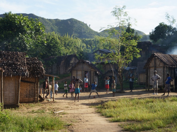
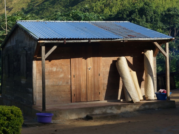
Antsahabe is one of the many small villages one walks through when crossing the Masoala Peninsula from Maroantsetra to Antalaha in the north east of Madagascar.

| ||

|

|

|

| ||
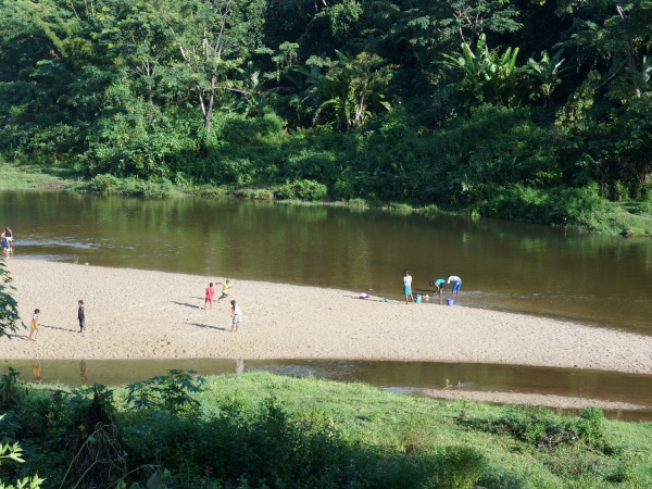
The village is located just next to a river. At the entrance of the village is a primary school.

| ||

|
GPS Coordinates
S 15°06.003'
E050°06.192'
18m elevation
View all Antsahabe photos