Difference between revisions of "Anovandrano"
From MadaCamp
CampMaster (talk | contribs) |
CampMaster (talk | contribs) |
||
| Line 18: | Line 18: | ||
|- | |- | ||
|} | |} | ||
| + | |||
| + | [[File:Anovandrano_001.jpg|600px]] | ||
| + | [[File:Anovandrano_002.jpg|600px]] | ||
| + | [[File:Anovandrano_003.jpg|600px]] | ||
| + | [[File:Anovandrano_004.jpg|600px]] | ||
| + | [[File:Anovandrano_005.jpg|600px]] | ||
| + | [[File:Anovandrano_006.jpg|600px]] | ||
| + | [[File:Anovandrano_007.jpg|600px]] | ||
| + | [[File:Anovandrano_008.jpg|600px]] | ||
| + | [[File:Anovandrano_009.jpg|600px]] | ||
| + | [[File:Anovandrano_010.jpg|600px]] | ||
| + | [[File:Anovandrano_011.jpg|600px]] | ||
| + | [[File:Anovandrano_012.jpg|600px]] | ||
| + | [[File:Anovandrano_013.jpg|600px]] | ||
| + | [[File:Anovandrano_014.jpg|600px]] | ||
| + | [[File:Anovandrano_015.jpg|600px]] | ||
| + | [[File:Anovandrano_016.jpg|600px]] | ||
| + | [[File:Anovandrano_017.jpg|600px]] | ||
<googlemap version="0.9" lat="-15.812094" lon="50.288506" zoom="15" controls="large"> | <googlemap version="0.9" lat="-15.812094" lon="50.288506" zoom="15" controls="large"> | ||
Revision as of 20:38, 11 August 2016
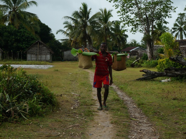
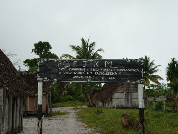
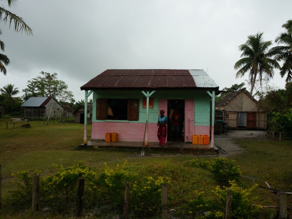
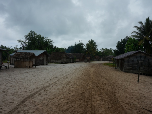
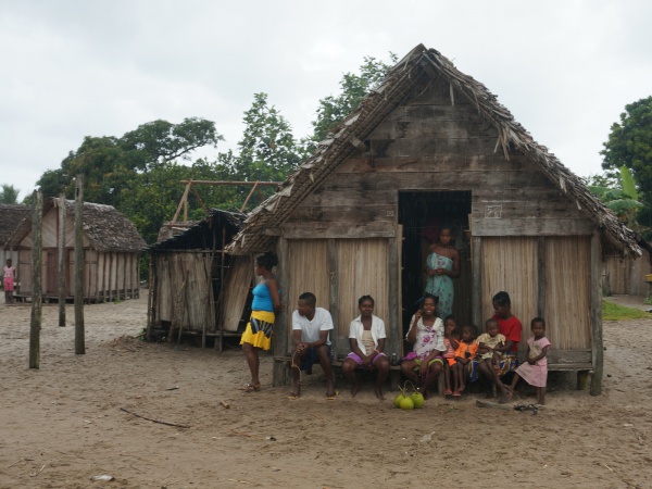
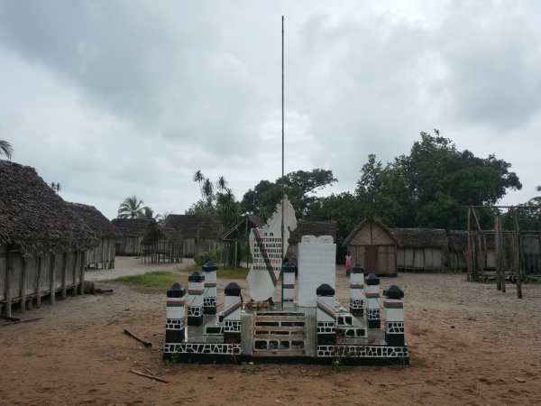
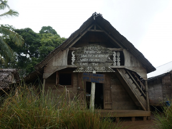
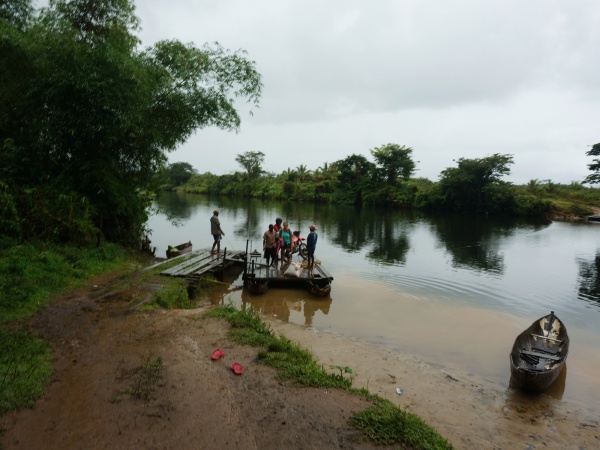
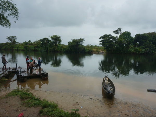
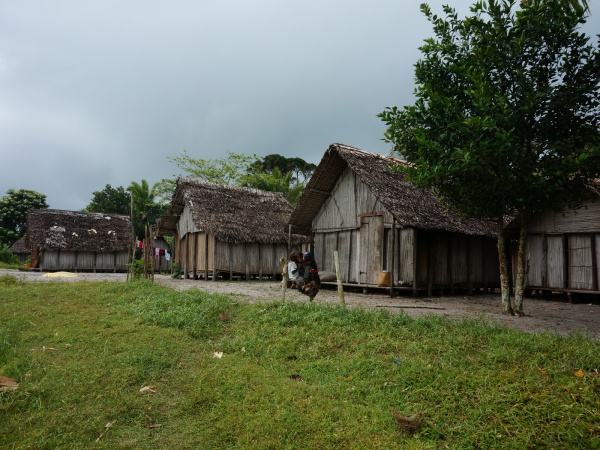
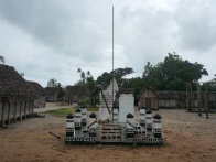
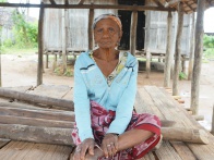
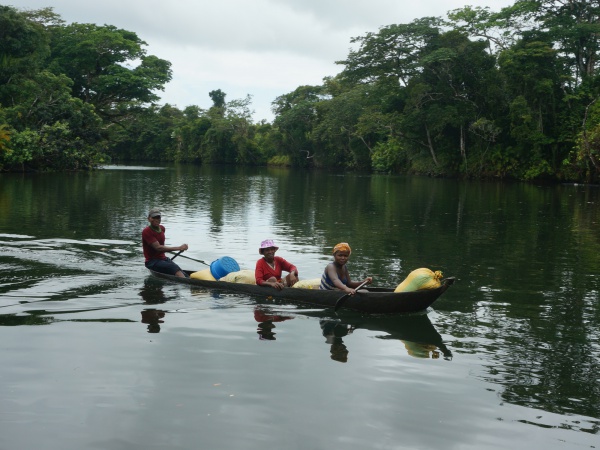
Anovandrano is situated at the south eastern coast of the peninsula
- village located on the Vinanivao river
| ||

|

|
|
|
|

|
| ||
GPS coordinates
S 15°48.912'
E050°17.186'
21m elevation
Additional information
- View all Anovandrano photos
- Maroantsetra Antalaha trek around the Masoala peninsula - The village of Anovandrano lies on the path sneaking around the Masoala Peninsula.


