Difference between revisions of "Baobab Avenue"
CampMaster (talk | contribs) |
CampMaster (talk | contribs) |
||
| Line 14: | Line 14: | ||
</table> | </table> | ||
| − | The best times to visit are at sunset and sunrise when the colours of the stems change and long shadows of the trees are most pronounced. Baobab Avenue can be reached by foot, bike or [[taxi-brousse]] along the road toward [[Belo-sur-Tsiribihina]]. A tiny village and a school are located nearby. | + | The best times to visit are at sunset and sunrise when the colours of the stems change and long shadows of the trees are most pronounced. Baobab Avenue can be reached from [[Morondava]] by foot, bike or [[taxi-brousse]] along the road toward [[Belo-sur-Tsiribihina]]. A tiny village and a school are located nearby. |
The location is also known as Allée de Baobab, Avenue du Baobab or Adansoinia grandidieri baobabs. | The location is also known as Allée de Baobab, Avenue du Baobab or Adansoinia grandidieri baobabs. | ||
Revision as of 18:49, 16 February 2010
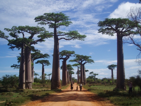
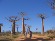
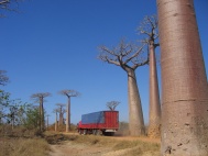
Fifteen kilometres north of Morondava, baobab trees right and left of the road form an avenue of proud giants, also called the Baobab Avenue. This road has become the landmark of the area and a symbol of Madagascar. It is one of the most photographed spots in the country.
The baobab tree is the national tree of Madagascar. Due to its unusual shape, the baobab is sometimes said to be a tree with roots pointing to the sky. According to ancient Arabic mythology, it was the devil who pulled the tree out of the earth and re-planted it upside down.
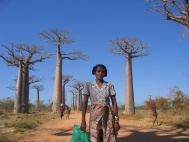 Sakalava woman at Boabab Avenue |
The best times to visit are at sunset and sunrise when the colours of the stems change and long shadows of the trees are most pronounced. Baobab Avenue can be reached from Morondava by foot, bike or taxi-brousse along the road toward Belo-sur-Tsiribihina. A tiny village and a school are located nearby.
The location is also known as Allée de Baobab, Avenue du Baobab or Adansoinia grandidieri baobabs.
