Difference between revisions of "Sambirano River"
From MadaCamp
| Line 1: | Line 1: | ||
| + | '''The Sambirano River is located in the northwest of Madagascar.''' | ||
| − | + | {| class="imageTable" | |
| − | + | |- | |
| − | + | |colspan="3" | [[File:Sambirano 124.jpg|600px]] | |
| + | |- | ||
| + | |[[File:Ambanja_034.jpg|196px]] | ||
| + | |align="center"|[[File:Sambirano_001.jpg|196px]] | ||
| + | |align="right"|[[File:Ambanja_035.jpg|196px]] | ||
| + | |} | ||
| − | + | ''Source:'' The peak of [[Tsaratanana]]<br> | |
| + | ''Watershed area:'' 2,980km²<br> | ||
| + | ''Length:'' 124km | ||
| − | Origins of the name Sambirano: According to tradition, a Sakalava King climbed to the source of the river where it branches apart. There, a villager asked him the names of the many forks. The King, not knowing their names, replied ''Sambirano'', which means ''still water''. | + | ''Daily usage:'' Source of potable water and for washing laundry or other items, rice cultivation, source of sand for construction, traditional fishing (Gogo, Filapisaka, Antrondro...), river transport and tourism. |
| + | |||
| + | ''Origins of the name Sambirano:'' According to tradition, a Sakalava King climbed to the source of the river where it branches apart. There, a villager asked him the names of the many forks. The King, not knowing their names, replied ''Sambirano'', which means ''still water''. | ||
| + | |||
| + | [[File:Sambirano_086.jpg|600px]] | ||
'''Additional information''' | '''Additional information''' | ||
* The [[Sambirano]] area in the north-west of Madagascar | * The [[Sambirano]] area in the north-west of Madagascar | ||
Revision as of 12:44, 23 July 2017
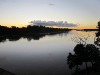
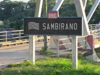
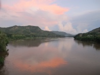
The Sambirano River is located in the northwest of Madagascar.

| ||

|

|

|
Source: The peak of Tsaratanana
Watershed area: 2,980km²
Length: 124km
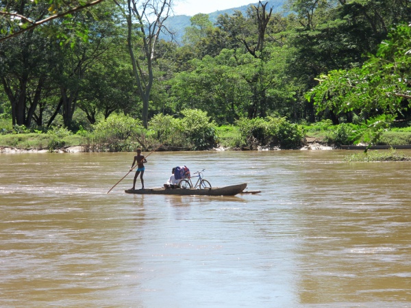
Daily usage: Source of potable water and for washing laundry or other items, rice cultivation, source of sand for construction, traditional fishing (Gogo, Filapisaka, Antrondro...), river transport and tourism.
Origins of the name Sambirano: According to tradition, a Sakalava King climbed to the source of the river where it branches apart. There, a villager asked him the names of the many forks. The King, not knowing their names, replied Sambirano, which means still water.
Additional information
- The Sambirano area in the north-west of Madagascar
