Difference between revisions of "Maromby (Ambanja)"
From MadaCamp
| Line 1: | Line 1: | ||
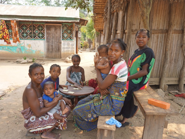
'''Maromby is a common name for villages in Madagascar. This Maromby refers to a very small village located next to the Sambirano river in the [[Ambanja]] district in the northwest of Madagascar.''' | '''Maromby is a common name for villages in Madagascar. This Maromby refers to a very small village located next to the Sambirano river in the [[Ambanja]] district in the northwest of Madagascar.''' | ||
| + | |||
| + | {| class="imageTable" | ||
| + | |- | ||
| + | |colspan="3" | [[File:Maromby_Ambanja_004.jpg|600px]] | ||
| + | |- | ||
| + | |[[File:Maromby_Ambanja_009.jpg|196px]] | ||
| + | |align="center"|[[File:Maromby_Ambanja_021.jpg|196px]] | ||
| + | |align="right"|[[File:Maromby_Ambanja_022.jpg|196px]] | ||
| + | |- | ||
| + | |colspan="3" | [[File:Maromby_Ambanja_008.jpg|600px]] | ||
| + | |} | ||
<googlemap version="0.9" lat="-13.974896" lon="48.600630" type="satellite" zoom="16" controls="large"> | <googlemap version="0.9" lat="-13.974896" lon="48.600630" type="satellite" zoom="16" controls="large"> | ||
Revision as of 04:34, 13 September 2017
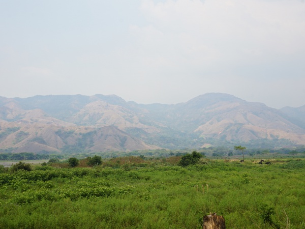
Maromby is a common name for villages in Madagascar. This Maromby refers to a very small village located next to the Sambirano river in the Ambanja district in the northwest of Madagascar.
| ||
|
|
|
| ||
GPS coordinates
Google: 13°58'29.6"S 48°36'02.3"E
Garmin: -13.974896, 48.600630
Additional information
- View all Maromby photos
- Sambirano Trekking Tour