Difference between revisions of "Iaraka"
From MadaCamp
CampMaster (talk | contribs) |
CampMaster (talk | contribs) |
||
| Line 12: | Line 12: | ||
|align="center"|[[File:Iaraka 006.jpg|196px]] | |align="center"|[[File:Iaraka 006.jpg|196px]] | ||
|align="right"|[[File:Iaraka 007.jpg|196px]] | |align="right"|[[File:Iaraka 007.jpg|196px]] | ||
| − | |||
| − | |||
|- | |- | ||
|} | |} | ||
| Line 21: | Line 19: | ||
Iaraka | Iaraka | ||
</googlemap> | </googlemap> | ||
| + | [[File:Iaraka 014.jpg|600px]] | ||
The village north of Iaraka is [[Masindrano]]. The next village south following the fishing hamlets of [[Ambolosy]] (15°27'39.9"S 49°53'46.6"E) and [[Ananovato]] is [[Nandrahanana]]. | The village north of Iaraka is [[Masindrano]]. The next village south following the fishing hamlets of [[Ambolosy]] (15°27'39.9"S 49°53'46.6"E) and [[Ananovato]] is [[Nandrahanana]]. | ||
View all [[Iaraka photos]] | View all [[Iaraka photos]] | ||
Revision as of 19:50, 22 April 2018
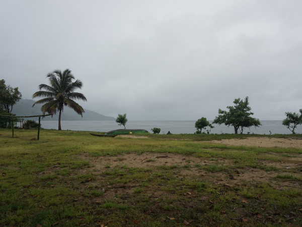
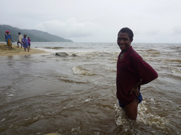
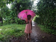
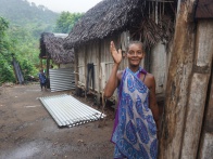
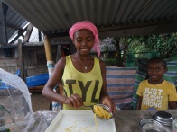
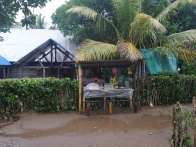
Iaraka is a small fishing and farming village that lies along the footpath leading around the Masoala peninsula.
| ||
|
|
|
|
|
|
The village north of Iaraka is Masindrano. The next village south following the fishing hamlets of Ambolosy (15°27'39.9"S 49°53'46.6"E) and Ananovato is Nandrahanana.
View all Iaraka photos
