Difference between revisions of "Sambava to Farihy Ampasimbato by bike"
CampMaster (talk | contribs) |
CampMaster (talk | contribs) |
||
| Line 28: | Line 28: | ||
|align="right"|[[File:Sambava_to_Farihy_Ampasimbato 077.jpg|196px]] | |align="right"|[[File:Sambava_to_Farihy_Ampasimbato 077.jpg|196px]] | ||
|} | |} | ||
| + | |||
| + | About 1km after the river crossing, bike through [[Bemanevika]]. Every Sunday there's a large market in the mornings, which is especially active during the vanilla season between March and August. | ||
[[File:Bemarivo_001.jpg|600px]] | [[File:Bemarivo_001.jpg|600px]] | ||
| − | + | Thereafter a flat sandy road and sometimes trail continues to Lake Ampasimbato, in which there reportedly are many crocodiles. | |
| + | |||
| + | [[File:Sambava_to_Farihy_Ampasimbato 077.jpg|196px]] | ||
| + | |||
| + | {| class="imageTable" | ||
| + | |- | ||
| + | |colspan="3" | [[File:Sambava_to_Farihy_Ampasimbato 057.jpg|600px]] | ||
| + | |- | ||
| + | |[[File:Sambava_to_Farihy_Ampasimbato 064.jpg|196px]] | ||
| + | |align="center"|[[File:Sambava_to_Farihy_Ampasimbato 065.jpg|196px]] | ||
| + | |align="right"|[[File:Sambava_to_Farihy_Ampasimbato 044.jpg|196px]] | ||
| + | |- | ||
| + | |[[File:Sambava_to_Farihy_Ampasimbato 040.jpg|196px]] | ||
| + | |align="center"|[[File:Sambava_to_Farihy_Ampasimbato 047.jpg|196px]] | ||
| + | |align="right"|[[File:Sambava_to_Farihy_Ampasimbato 019.jpg|196px]] | ||
| + | |} | ||
<googlemap version="0.9" lat="-14.188738" lon="50.106371" height="800" controls="large" zoom="12" style="width:100%;max-width:600px;"> | <googlemap version="0.9" lat="-14.188738" lon="50.106371" height="800" controls="large" zoom="12" style="width:100%;max-width:600px;"> | ||
Revision as of 17:22, 25 March 2020
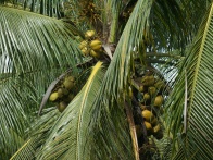
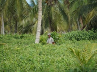
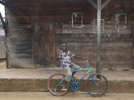
Sambava to Farihy Ampasimbato and return is in all an approximately 50km bike through nature, villages, coconut and vanilla plantations.
| ||
|
|
|
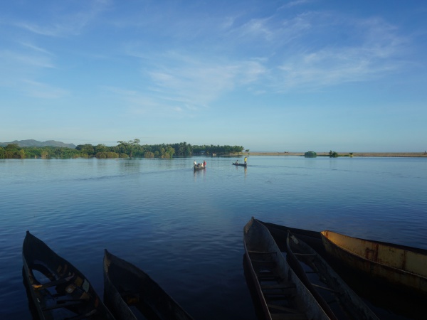
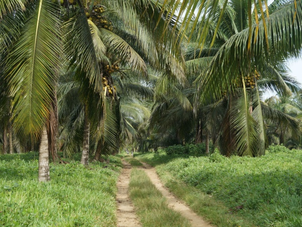
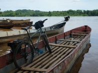
The bike ride begins with a crossing by canoe across a creek near the centre of Sambava followed by an approximately 10km stretch through coconut plantation. The price for the canoe crossing including bike is between 1,000 Ar and 2,000 Ar (2020).
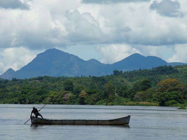
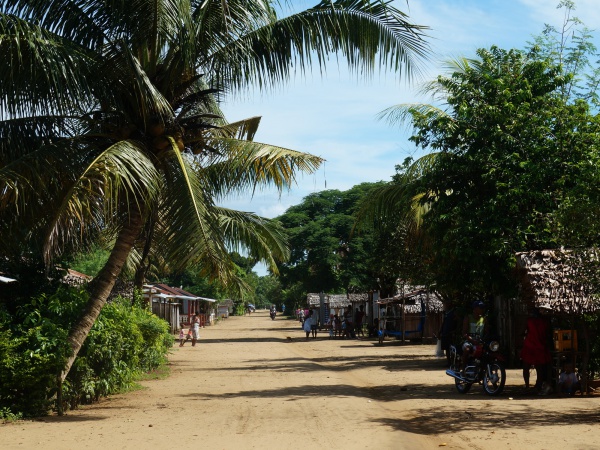
Most of the route runs along a sandy but bikeable road and often in the shade of coconut palms, first passing the tiny village of Ampisasanala and thereafter Antongompahitra. About 3km after Antongompahitra, cross Bemarivo with a pirogue. The price including a bike is 2000 Ar (2020).
| ||
|
|
|
|

|
|
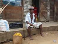
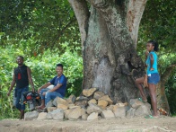
About 1km after the river crossing, bike through Bemanevika. Every Sunday there's a large market in the mornings, which is especially active during the vanilla season between March and August.
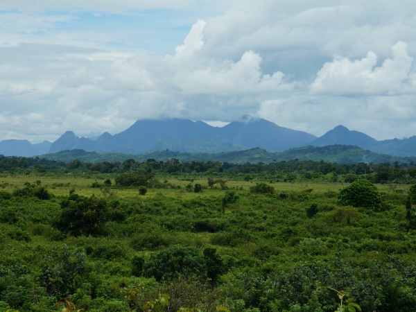
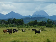
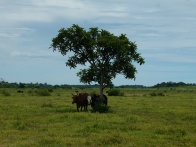
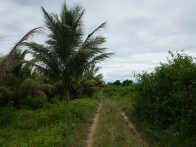
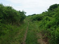
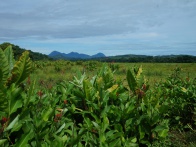
Thereafter a flat sandy road and sometimes trail continues to Lake Ampasimbato, in which there reportedly are many crocodiles.
| ||
|
|
|

|
|
|
Tour data
Distance: 24.6km
Time: 4 hours, 24 minutes
Average speed: 5.6km p/hour
Minimum Elevation: 11 metres
Maximum Elevation: 20 metres
Total climb: 37 metres
Total descent: 22 metres
