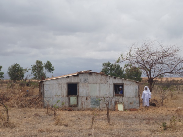
Diego Suarez to Cap Diego by bike
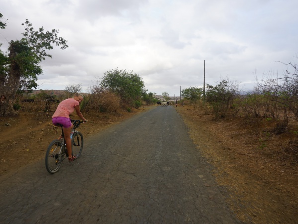
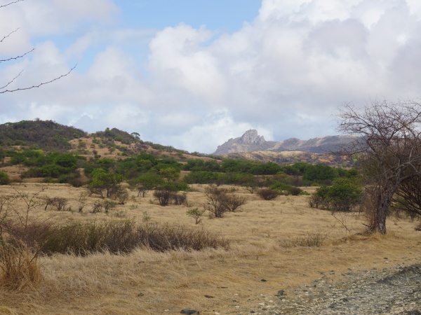
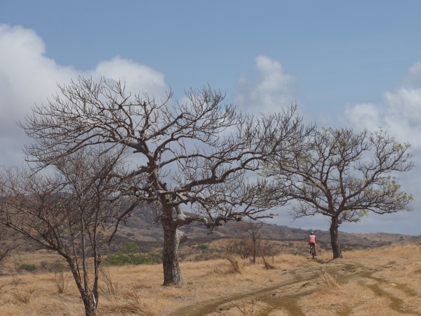
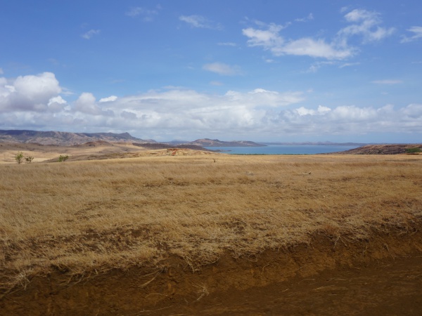
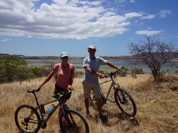
There are many things to discover in the area surrounding Diego Suarez. For enthusiastic mountain bikers, a trip to Cap Diego is just the right thing. The small, sometimes good and sometimes bad road leads along the Diego Suarez Bay (Antsiranana Bay).
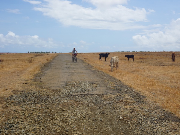
The bike excursion starts in Diego Suarez. After leaving town towards the south, one turns right direction Anamakia. On the way to this small village, one passes the large Plaine d'Anamakia, a wide open space with hundreds of grazing zebus.
- 5 hours with many stops to enjoy the views and escape the heat
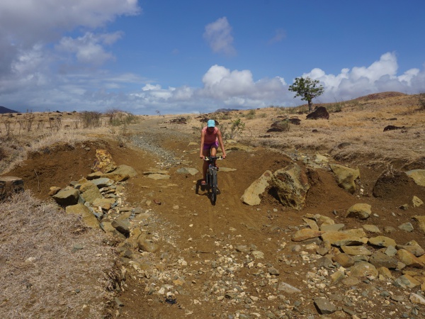
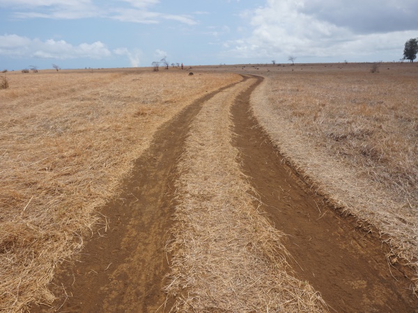
- all kinds of road: small gravel road, large gravel road, dirt road, old asphalt road, trail
- some road sections are impassable, better to push the bike
- depending on the season, the weather can be very hot and very windy
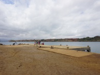
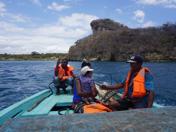
- regular boat service from between Cap Diego and Diego Suarez (2,000 Ariary per person in 2017)
Antsiranana - Diego Suarez
Google: 12°17'15.4"S 49°17'29.5"E
Garmin: -12.287617, 49.291534
Plaine d'Anamakia
Google: 12°19'29.5"S 49°15'25.3"E
Garmin: -12.324852, 49.25703
Anamakia
Google: 12°19'34.3"S 49°14'47.2"E
Garmin: -12.326198, 49.246456
Salines d'Antsahampano
Google: 12°19'43.8"S 49°12'48.3"E
Garmin: -12.328835, 49.213407
| ||
|

|
|
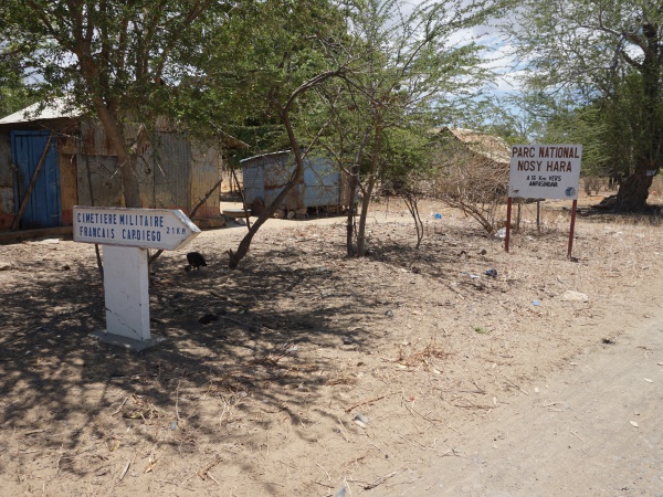
crossing with police checkpoint
turn right
21km to Cap Diego
16km to Nosy Hara National Park via Ampasindava
Google: 12°19'29.5"S 49°11'20.3"E
Garmin: -12.324849, 49.188979
| ||
|
|
|
Google: 12°18'43.5"S 49°11'17.5"E
Garmin: -12.312076, 49.188192
Google: 12°17'58.4"S 49°11'09.8"E
Garmin: -12.299552, 49.186046
Google: 12°17'58.4"S 49°11'09.8"E
Garmin: -12.299552, 49.186046
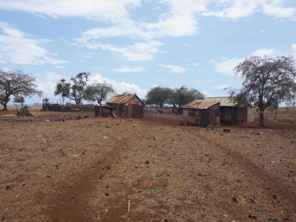
crossing with some houses
Google: 12°17'25.9"S 49°10'51.2"E and 12°17'26.0"S 49°10'51.2"E
Garmin: -12.290536, 49.180897 and -12.290541, 49.180890
| ||
|
|

|
Google: 12°16'59.8"S 49°10'55.6"E
Garmin: -12.283275, 49.182120
Google: 12°16'10.2"S 49°11'24.3"E
Garmin: -12.269507, 49.190078
Google: 12°16'07.4"S 49°11'24.8"E
Garmin: -12.268729, 49.190218
Google: 12°15'58.3"S 49°11'45.1"E
Garmin: -12.266181, 49.195869
| ||
|
|
|
Google: 12°15'44.0"S 49°11'36.4"E
Garmin: -12.262233, 49.193432
Google: 12°15'30.8"S 49°11'52.1"E
Garmin: -12.258555, 49.197791
Google: 12°14'59.2"S 49°12'05.4"E
Garmin: -12.249763, 49.201505
Google: 12°14'51.1"S 49°12'07.4"E
Garmin: -12.247537, 49.202063
Google: 12°14'43.7"S 49°12'09.7"E
Garmin: -12.245475, 49.202699
crossing
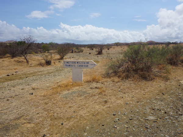
turn right direction Cap Diego and French Military Cemetery (Cimetière Militaire Français) - 10km
Google: 12°14'41.6"S 49°12'09.0"E
Garmin: -12.244884, 49.202488
Google: 12°14'44.0"S 49°12'16.5"E
Garmin: -12.245565, 49.204569
Google: 12°14'49.1"S 49°12'34.7"E
Garmin: -12.246976, 49.209639
|
|
|
Google: 12°14'55.5"S 49°12'59.3"E
Garmin: -12.248743, 49.216482
| ||
|
|
|
Google: 12°14'46.5"S 49°13'24.9"E
Garmin: -12.246247, 49.223587
Google: 12°15'01.5"S 49°13'36.4"E
Garmin: -12.250409, 49.226782
Google: 12°15'11.0"S 49°13'44.2"E
Garmin: -12.253066, 49.228956
Google: 12°15'14.6"S 49°13'49.2"E
Garmin: -12.254055, 49.230331
Google: 12°15'01.0"S 49°14'30.0"E
Garmin: -12.250269, 49.241679
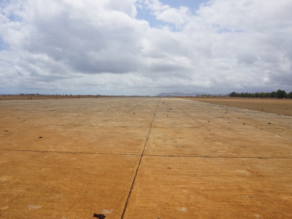
Military airbase Andrakaka
Google: 12°14'57.9"S 49°14'42.2"E
Garmin: -12.249429, 49.245055
Google: 12°14'51.1"S 49°15'18.3"E
Garmin: -12.247519, 49.255075
Google: 12°14'52.2"S 49°15'33.4"E
Garmin: -12.247840, 49.259268
Google: 12°14'54.5"S 49°16'17.1"E
Garmin: -12.248460, 49.271411
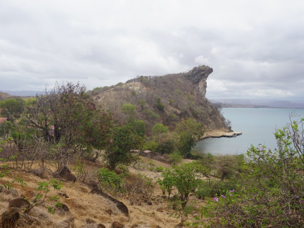
Cap Diego
Google: 12°15'21.9"S 49°16'49.2"E
Garmin: -12.256091, 49.280334
| ||
|

|
|
|
|
|
Back to Diego Suarez by boat
| ||
|
|
|
