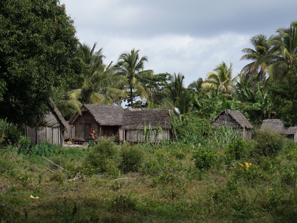
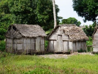
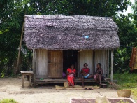
Antanambao
From MadaCamp
Revision as of 20:13, 9 August 2016 by CampMaster (talk | contribs)

| ||

|

|

|
GPS coordinates
S 15°56.132'
E050°14.348'
12m elevation
Additional information
- View all Antanambao photos
- Maroantsetra Antalaha trek around the Masoala peninsula - The village of Antanambo lies on the path sneaking around the Masoala Peninsula.