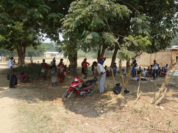
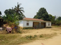
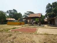
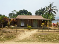
Ambodimanga Ramena is a village and commune in the district of Ambanja in the northwest of Madagascar. As the name indicates, Ambodimanga Ramena is located along the Ramena River.
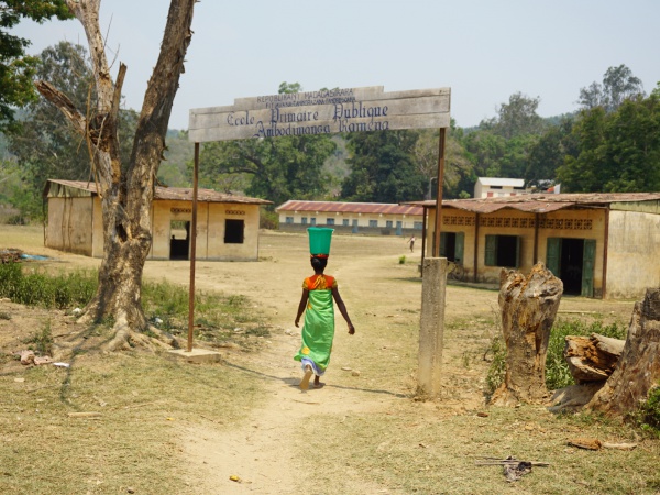
At the village border there is a public primary school.
Loading map...
{"minzoom":false,"maxzoom":false,"mappingservice":"leaflet","width":"auto","height":"400px","centre":false,"title":"","label":"","icon":"https://www.madacamp.com/images/madagascar/Green_marker.png","visitedicon":"","lines":[],"polygons":[],"circles":[],"rectangles":[],"wmsoverlay":false,"copycoords":true,"static":false,"zoom":16,"defzoom":14,"layer":"OpenStreetMap","overlaylayers":[],"resizable":false,"enablefullscreen":false,"markercluster":false,"clustermaxzoom":20,"clusterzoomonclick":true,"clustermaxradius":80,"clusterspiderfy":true,"locations":[{"text":"\u003Cp\u003E\u003Cb\u003EAmbodimanga Ramena\u003C/b\u003E\n\u003C/p\u003E","title":"Ambodimanga Ramena\n","link":"","lat":-13.763217,"lon":48.492984,"icon":"https://www.madacamp.com/images/madagascar/Green_marker.png"}],"imageoverlays":null}
GPS coordinates
Google: 13°45'46.3"S 48°29'39.8"E
Garmin: -13.762863, 48.494389
Photos
View all Ambodimanga Ramena photos
Additional information
