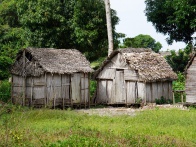
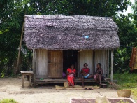
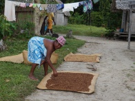
Antanambao is a common village name in Madagascar. The Antanambao pictured on this page is located on the coast at the southern part of the Masoala Peninsula, in the northeast of Madagascar.
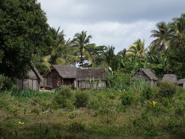
Loading map...
{"minzoom":false,"maxzoom":false,"mappingservice":"googlemaps3","type":"SATELLITE","types":["ROADMAP","SATELLITE","HYBRID","TERRAIN"],"width":"auto","height":"400px","centre":false,"title":"","label":"","icon":"https://www.madacamp.com/images/madagascar/Green_marker.png","visitedicon":"","lines":[],"polygons":[],"circles":[],"rectangles":[],"wmsoverlay":false,"copycoords":true,"static":false,"zoom":15,"layers":[],"controls":["pan","zoom","type","scale"],"zoomstyle":"DEFAULT","typestyle":"DEFAULT","autoinfowindows":false,"resizable":false,"kmlrezoom":false,"poi":true,"markercluster":false,"clustergridsize":60,"clustermaxzoom":20,"clusterzoomonclick":true,"clusteraveragecenter":true,"clusterminsize":2,"tilt":0,"imageoverlays":[],"kml":[],"gkml":[],"fusiontables":[],"searchmarkers":"","enablefullscreen":false,"locations":[{"text":"\u003Cp\u003E\u003Cb\u003EAntanambo\u003C/b\u003E (Masoala)\n\u003C/p\u003E","title":"Antanambo (Masoala)\n","link":"","lat":-15.935265,"lon":50.239165,"icon":"https://www.madacamp.com/images/madagascar/Green_marker.png"}]}
The next village direction southwest is Beankora. The next village direction north is Vinanivao.
GPS coordinates
S 15°56.132'
E050°14.348'
12m elevation
Photos
View all Antanambao photos
Additional information