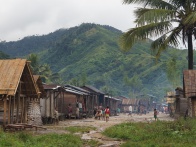
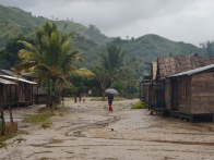
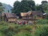
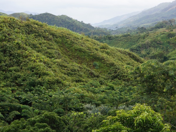
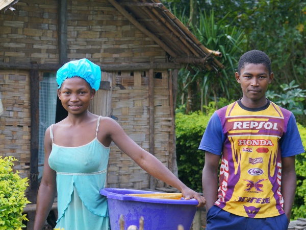
Manakambahiny is an isolated village located on the Masoala Peninsula in the north east of Madagascar. It is only possible to reach the village by foot.
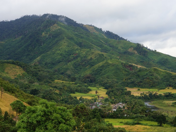
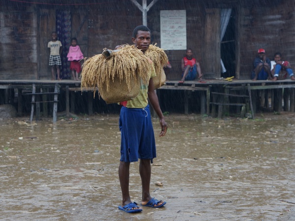
The inhabitants of Manakambahiny village are self-sufficient, living from the crop grown on their fields. There is no electricity or running water in the village.
The Manakambahiny village featured on this page should be not mistaken with the Manakambahiny located along the RN44 near the Zahamena National Park.
Loading map...
{"minzoom":false,"maxzoom":false,"mappingservice":"googlemaps3","type":"SATELLITE","types":["ROADMAP","SATELLITE","HYBRID","TERRAIN"],"width":"auto","height":"400px","centre":false,"title":"","label":"","icon":"https://www.madacamp.com/images/madagascar/Green_marker.png","visitedicon":"","lines":[],"polygons":[],"circles":[],"rectangles":[],"wmsoverlay":false,"copycoords":true,"static":false,"zoom":16,"layers":[],"controls":["pan","zoom","type","scale"],"zoomstyle":"DEFAULT","typestyle":"DEFAULT","autoinfowindows":false,"resizable":false,"kmlrezoom":false,"poi":true,"markercluster":false,"clustergridsize":60,"clustermaxzoom":20,"clusterzoomonclick":true,"clusteraveragecenter":true,"clusterminsize":2,"tilt":0,"imageoverlays":[],"kml":[],"gkml":[],"fusiontables":[],"searchmarkers":"","enablefullscreen":false,"locations":[{"text":"\u003Cp\u003E\u003Cb\u003EManakambahiny\u003C/b\u003E\n\u003C/p\u003E","title":"Manakambahiny\n","link":"","lat":-15.239385,"lon":50.069371,"icon":"https://www.madacamp.com/images/madagascar/Green_marker.png"}]}
GPS Coordinates
S 15°14.337'
E050°04.161'
219m elevation
Photos
View all Manakambahiny photos
Additional information