Difference between revisions of "Manakambahiny"
From MadaCamp
CampMaster (talk | contribs) |
CampMaster (talk | contribs) |
||
| Line 3: | Line 3: | ||
{| class="imageTable" | {| class="imageTable" | ||
|- | |- | ||
| − | |colspan="3" | [[File: | + | |colspan="3" | [[File:Manakambahiny_039.jpg|600px]] |
|- | |- | ||
| − | |[[File: | + | |[[File:Manakambahiny_024.jpg|196px]] |
| − | |align="center"|[[File: | + | |align="center"|[[File:Manakambahiny_026.jpg|196px]] |
| − | |align="right"|[[File: | + | |align="right"|[[File:Manakambahiny_034.jpg|196px]] |
| − | |||
| − | |||
|} | |} | ||
Revision as of 04:37, 30 August 2014
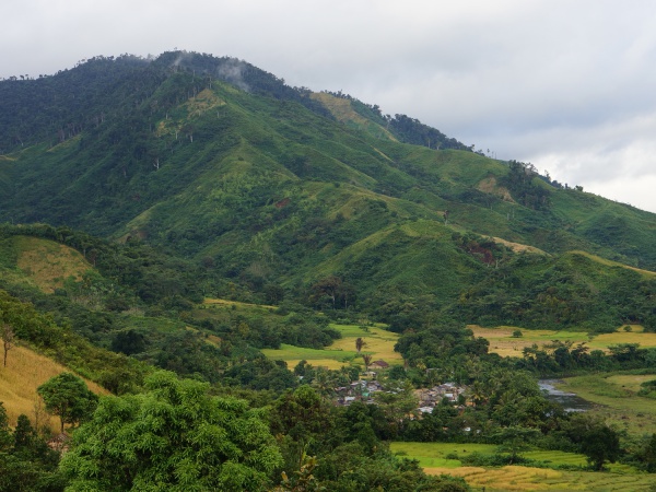
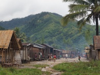
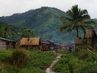
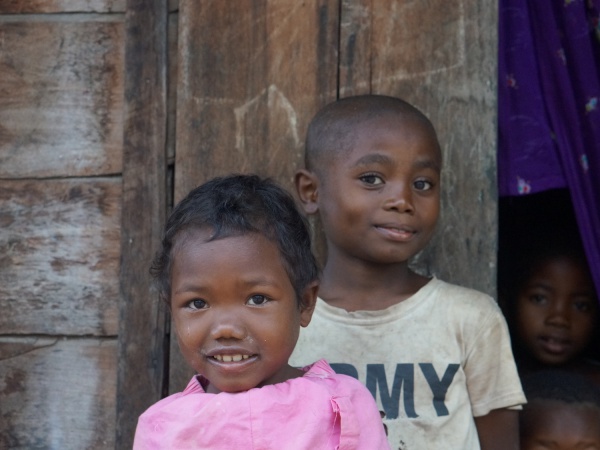
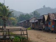
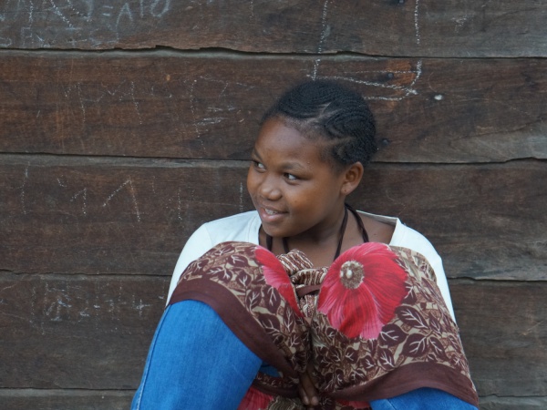
Manakambahiny is an isolated village located on the Masoala Peninsula in the north east of Madagascar. It is not possible to reach the village by car.
| ||
|
|
|
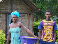
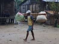
The inhabitants of Manakambahiny village are self-sufficient, living from the crop grown on their fields. There is no electricity or running water in the village.
| ||
|
|
|
| ||
GPS Coordinates
S 15°14.337'
E050°04.161'
219m elevation
View all Manakambahiny photos
