Difference between revisions of "Antanambao (Masoala)"
From MadaCamp
CampMaster (talk | contribs) (Created page with "'''Antanambao is a common village name in Madagascar. The Antanambao pictured on this page is located on the coast at the southern part of the Masoala Peninsula, in the northe...") |
CampMaster (talk | contribs) |
||
| Line 33: | Line 33: | ||
Antanambo (Masoala) | Antanambo (Masoala) | ||
</googlemap> | </googlemap> | ||
| + | |||
| + | The next village direction southwest is [[Beankora]]. The next village direction north is [[Vinanivao]]. | ||
'''GPS coordinates'''<br> | '''GPS coordinates'''<br> | ||
Revision as of 11:35, 20 February 2017
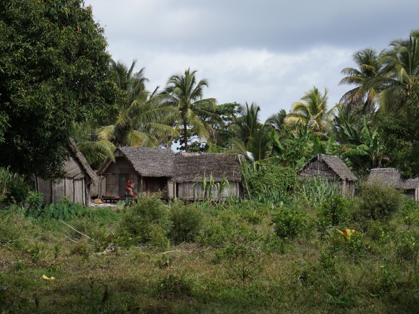
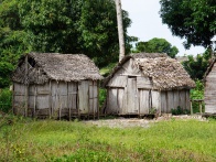
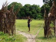
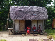
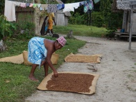
Antanambao is a common village name in Madagascar. The Antanambao pictured on this page is located on the coast at the southern part of the Masoala Peninsula, in the northeast of Madagascar.
| ||
|
|
|
|

|

|

| ||

|

|

|

|

|

|
The next village direction southwest is Beankora. The next village direction north is Vinanivao.
GPS coordinates
S 15°56.132'
E050°14.348'
12m elevation
Additional information
- View all Antanambao photos
- Maroantsetra Antalaha trek around the Masoala peninsula - The village of Antanambao lies on the path sneaking around the Masoala Peninsula.