Difference between revisions of "Lohanantsahabe"
From MadaCamp
CampMaster (talk | contribs) (Created page with "Lohanantsahabe is a village along the national road to Andapa. <div style="max-width:600px;"> {{#display_map: S14°25.779',E049°56.773'~'''Lohanantsahebe'''~~; |type...") |
|||
| (4 intermediate revisions by one other user not shown) | |||
| Line 1: | Line 1: | ||
| − | Lohanantsahabe is a village along the national road to | + | '''Lohanantsahabe is a village along the RN4 national road leading to Andapa.''' |
| + | {| class="imageTable" | ||
| + | |- | ||
| + | |colspan="3" | [[File:Lohanantsahabe_003.jpg|600px]] | ||
| + | |- | ||
| + | |[[File:Lohanantsahabe_001.jpg|196px]] | ||
| + | |align="center"|[[File:Lohanantsahabe_005.jpg|196px]] | ||
| + | |align="right"|[[File:Lohanantsahabe_007.jpg|196px]] | ||
| + | |- | ||
| + | |[[File:Lohanantsahabe_004.jpg|196px]] | ||
| + | |align="center"|[[File:Lohanantsahabe_002.jpg|196px]] | ||
| + | |align="right"|[[File:Lohanantsahabe_006.jpg|196px]] | ||
| + | |- | ||
| + | |} | ||
| + | The village is located 70km from [[Andapa]] and 37km from [[Sambava]] at an altitude of 100m. There is a weekly market every Monday morning. | ||
| + | |||
| + | <HTML5video type="youtube">92ZwhfpFxxg</HTML5video> | ||
<div style="max-width:600px;"> | <div style="max-width:600px;"> | ||
{{#display_map: | {{#display_map: | ||
| − | S14°25.779',E049°56.773'~'''[[ | + | S14°25.779',E049°56.773'~'''[[Lohanantsahabe]]'''~~; |
|type=satellite | |type=satellite | ||
|service=google | |service=google | ||
| Line 13: | Line 29: | ||
}} | }} | ||
</div> | </div> | ||
| − | |||
| − | |||
Latest revision as of 05:56, 11 August 2022
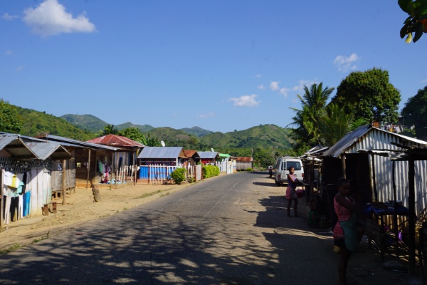
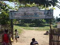
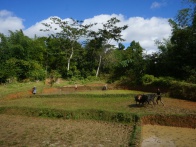
Lohanantsahabe is a village along the RN4 national road leading to Andapa.
| ||
|

|
|

|
|
|
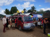
The village is located 70km from Andapa and 37km from Sambava at an altitude of 100m. There is a weekly market every Monday morning.
Loading map...