Difference between revisions of "Fizono"
From MadaCamp
CampMaster (talk | contribs) m (Text replacement - "<googlemap version="0.9" (.*)>" to "<googlemap version="0.9" $1 style="width:100%;max-width:600px;">") |
|||
| Line 28: | Line 28: | ||
</googlemap> | </googlemap> | ||
| − | ''' | + | '''Geographic coordinates'''<br> |
| − | S 15°20.615'<br> | + | 15.343583S 49.948050E |
| + | <!--S 15°20.615'<br> | ||
E049°56.883'<br> | E049°56.883'<br> | ||
| − | 82m elevation | + | 82m elevation--> |
View all [[Fizono photos]] | View all [[Fizono photos]] | ||
Revision as of 09:31, 7 February 2018
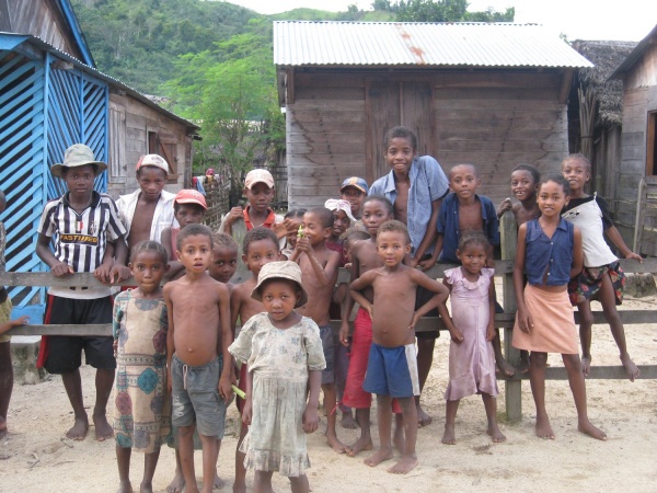
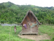
Fizono (also called Fizoana) is a very small Betsimisaraka village located on the Masoala peninsula in the east of Madagascar. As there are no roads on the peninsula, the village can be reached only by foot. From Maroantsetra it takes about 1,5 hours by pirogue and thereafter 5-6 hours by foot, depending on the physical fitness and pace.
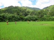
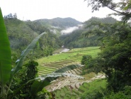
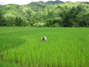
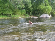
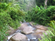
Fizono is surrounded by large green rice fields. There is no electricity or running water available in the village. A river in the valley behind the village is used for washing and bathing. The village itself offers various basic hotels with rooms to rent and several shops stocked with only the most essential goods.
Location:
Geographic coordinates
15.343583S 49.948050E
View all Fizono photos
