Difference between revisions of "Madirobe"
From MadaCamp
CampMaster (talk | contribs) |
|||
| Line 15: | Line 15: | ||
|} | |} | ||
| − | <googlemap version="0.9" lat="-13.708433" lon="50.035550" zoom="14" scale="yes" controls="large" style="width:100%;max-width:600px;"> | + | <div style="max-width:600px;"> |
| + | {{#display_map: | ||
| + | -13.708433, 50.035550~'''Madirobe'''~~; | ||
| + | |type=satellite | ||
| + | |service=google | ||
| + | |width=auto | ||
| + | |height=400 | ||
| + | |zoom=14 | ||
| + | |enablefullscreen=yes | ||
| + | |controls=pan, zoom, type, scale | ||
| + | |searchmarkers=all | ||
| + | |resizable=yes | ||
| + | |copycoords=yes | ||
| + | }} | ||
| + | </div> | ||
| + | <!--<googlemap version="0.9" lat="-13.708433" lon="50.035550" zoom="14" scale="yes" controls="large" style="width:100%;max-width:600px;"> | ||
-13.708433, 50.035550 | -13.708433, 50.035550 | ||
Madirobe | Madirobe | ||
| − | </googlemap> | + | </googlemap>--> |
The village is located along the road leading to [[Bobangira Park]]. | The village is located along the road leading to [[Bobangira Park]]. | ||
View all [[Madirobe photos]] | View all [[Madirobe photos]] | ||
Revision as of 17:08, 24 November 2020
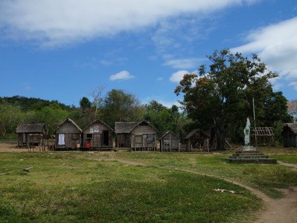
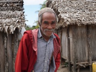
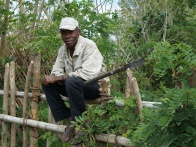
Madirobe, meaning big tamarind tree, is a small village between Vohemar and Sambava.
| ||
|
|
|
|

|
|
Loading map...
The village is located along the road leading to Bobangira Park.
View all Madirobe photos