Difference between revisions of "Bemarivo"
From MadaCamp
CampMaster (talk | contribs) |
CampMaster (talk | contribs) |
||
| Line 1: | Line 1: | ||
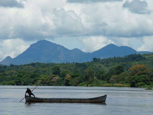
| − | '''Bemarivo is a river joined by the Androranga river originating in [[Marojejy]] before flowing into the | + | '''Bemarivo is a river joined by the Androranga river originating in [[Marojejy]] before flowing into the ocean between [[Antongompahitra]] and [[Bemanevika]] on the east coast north of [[Sambava]].''' |
[[File:Bemarivo_001.jpg|600px]] | [[File:Bemarivo_001.jpg|600px]] | ||
| + | |||
| + | The areas along the river are cultivated with all kinds of crops, especially cacao and vanilla. | ||
| + | |||
| + | <HTML5video type="youtube">NjcbwHO1n5s</HTML5video> | ||
| + | |||
| + | <HTML5video type="youtube">Sqrmx95fcWU</HTML5video> | ||
| + | |||
| + | Manual gravel crushing at [https://goo.gl/maps/8a3wJBqzfiB2Xfo18 14°11'26.5"S 50°03'24.4"E] | ||
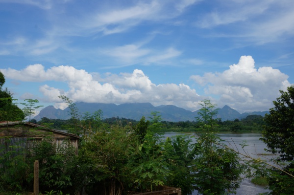
[[File:Bemarivo_002.jpg|600px]] | [[File:Bemarivo_002.jpg|600px]] | ||
| + | |||
| + | <HTML5video type="youtube">AVGBvNtM09M</HTML5video> | ||
| + | |||
| + | The village of [[Nosiarina]] along Bemarivo and the RN5a national road. | ||
<HTML5video type="youtube">pqQTG461bss</HTML5video> | <HTML5video type="youtube">pqQTG461bss</HTML5video> | ||
| − | |||
| − | |||
<div style="max-width:600px;"> | <div style="max-width:600px;"> | ||
{{#display_map: | {{#display_map: | ||
| − | -14.190029535651547,50.06335693043828~''' | + | -14.190029535651547,50.06335693043828~'''Bemarivo'''~~; |
|centre=--14.210361, 50.043702 | |centre=--14.210361, 50.043702 | ||
|type=satellite | |type=satellite | ||
Revision as of 17:35, 28 August 2023
Bemarivo is a river joined by the Androranga river originating in Marojejy before flowing into the ocean between Antongompahitra and Bemanevika on the east coast north of Sambava.
The areas along the river are cultivated with all kinds of crops, especially cacao and vanilla.
Manual gravel crushing at 14°11'26.5"S 50°03'24.4"E
The village of Nosiarina along Bemarivo and the RN5a national road.
Loading map...

