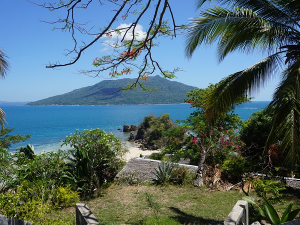
Diego-Ambanja-Diego by bike
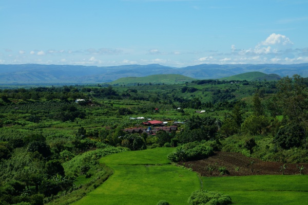
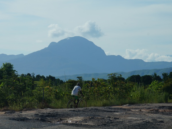
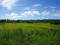
The route between Diego and Ambanja is suitable for biking throughout the year, even while the road is in a bad condition as it often is during the rainy season between December and April, but this is also when the landscape is the greenest.
| ||
|
|
|
Contents
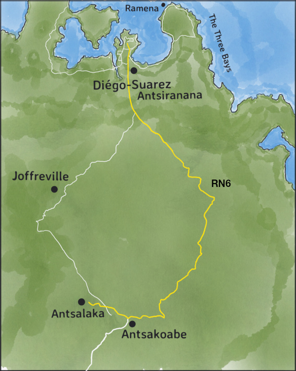
Diego to Antsalaka
Start early, ideally around 6am to avoid the many passing cars and trucks between industrial facilities along the stretch from Diego to Arrachart Airport. Thereafter, the traffic along the RN6 will gradually becomes less frequent.
| ||
|
|
|
|
|
|
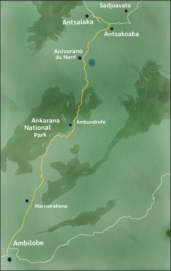
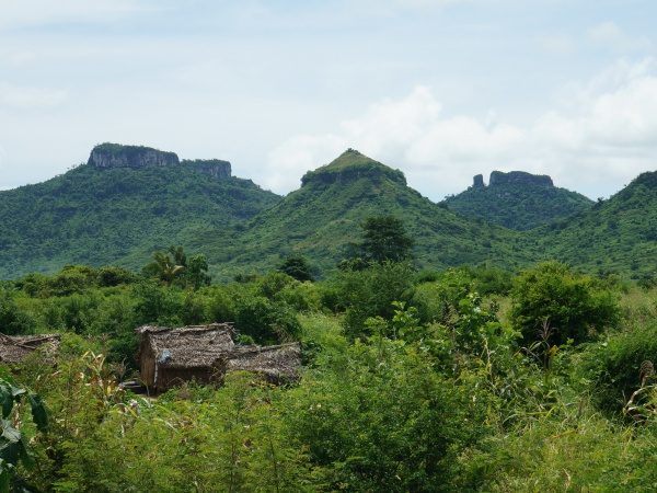
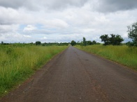
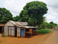
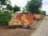
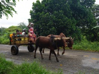
Passing the French Mountain on the left, the route runs consistently but not steep uphill. After 60km, at the sign for Antsalaka and Park National d'Ambre, turn right and continue 6km to Antsalaka. From here, another 1.5km of mostly walking trail leads to West Valley Lodge, an accommodation located on a tropical farm and garden where countless flowers, fruit and vegetables grow.
Alternatively, stay on RN6 and continue for 13km of mostly uphill biking to Anivorano Nord where accommodation at La Reine d'Ankarana is the best available option in town.
Tuesday, March 26, 2019 7:44 AM EAT
Distance: 42.4 miles
Duration: 10 hours, 39 minutes, and 22 seconds
Average Speed: 4.0 mph
Minimum Elevation: 168 feet
Maximum Elevation: 1920 feet
Total climb: 3065 feet
Total descent: 1337 feet
Antsalaka to Ambilobe
Again, an early start is recommended to avoid the heat for much of the ride which starts with an uphill stretch to Anivorano Nord. Beautiful scenery all along the way.
Among various villages you will pass through the gem-trading village of Ambondromifehy.
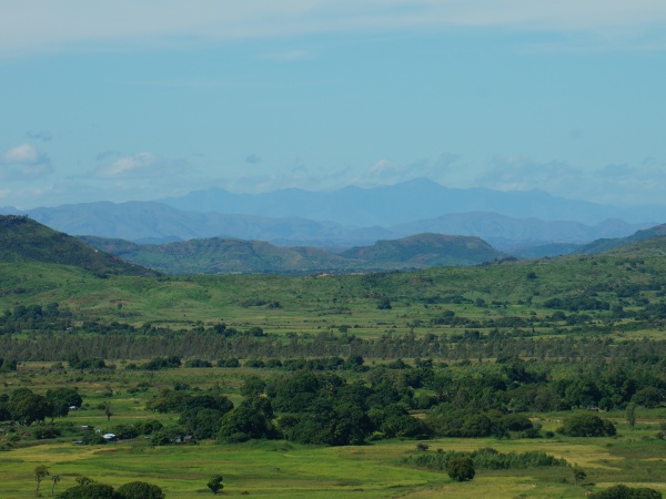
About one to two hours later you will reach the main entrance to Ankarana National Park and shortly thereafter a point with great views of in the direction of Ambilobe and the coast. Thereafter, a long downhill stretch follows.
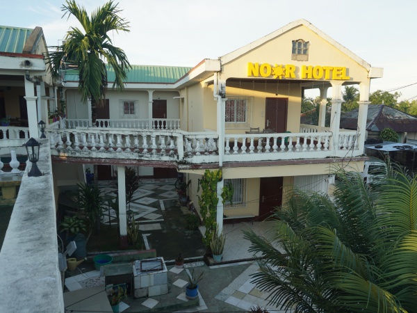
There are unfortunately no good hotels directly in the centre of Ambilobe, but perhaps just before or after town. The two best available options in town are Noor Hotel and Hotel National.
Monday, April 1, 2019 6:32 AM EAT
Distance: 50.7 miles
Duration: 9 hours, 13 minutes, and 48 seconds
Average Speed: 5.5 mph
Minimum Elevation: 101 feet
Maximum Elevation: 1900 feet
Total climb: 1168 feet
Total descent: 2952 feet
Ambilobe to Ambanja
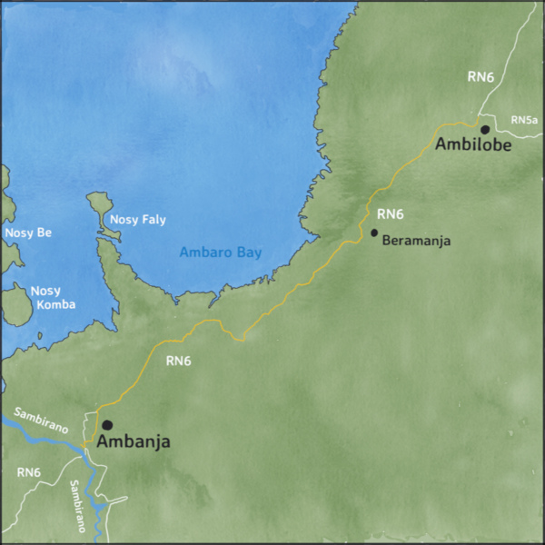
Especially today, an early start is recommended, since it's best to get out of the city before most traffic starts along the fairly long stretch out of the city and because 105km lay ahead, the longest distance of any day..
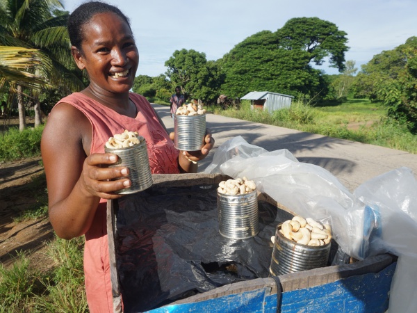
Ambilobe is an area of cashew farming. Shortly after leaving town, numerous farmers sell freshly roasted cashew at small stalls along the roadside. Each tin-can full of cashew cost 5,000 Ar (2019). The season of cashew between May and September with early harvests usually available in some stalls at the beginning of April.
| ||
|
|
|
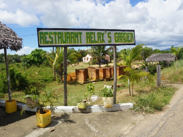
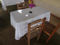
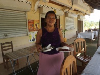
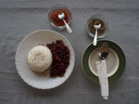
A good lunch restaurant named Relax's Garden can be found at S 13°29.605' E048°39.358'. However, there are usually not many guests and there's not always something on offer, so if you want to be sure to food prepared, call Mme Mariamo at 032 34 397 49 and place an advance order when leaving in the morning or in the evening before. Alternatively, a popular truck-stop where there's always something in the pot can be found on the left side of the road a few kilometres further.

| ||
|
|
|
| ||
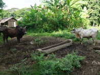
Before reaching the crossroad town of Madirofolo it's possible to take a shortcut by turning off the main road right onto a zebu cart road at 13°37'32.5"S 48°28'15.5"E to avoid much of the traffic along the final stretch to Ambanja. The route leads parallel to the main road through cacao plantations. However, at times of much rainfall this route gets muddy and may become partly or mostly impossible to bike. Then just continue the main road a bit further and turn left at Madirofolo.
Tuesday, April 2, 2019 6:17 AM EAT
Distance: 64.4 miles
Duration: 11 hours, 5 minutes, and 55 seconds
Average Speed: 5.8 mph
Minimum Elevation: 43 feet
Maximum Elevation: 177 feet
Total climb: 596 feet
Total descent: 647 feet
Ambanja to Ankify
For those who haven't been to Sambirano this would be the best area to explore further by bike. Or to complete a coast-to-coast bike trip, continue onto Ankify and from there another few kilometres to Ankify-Doany, a small fishing village with a nice beach and view onto Nosy Komba. The distance back and forth (42km) will be an easy ride in comparison to the previous days.
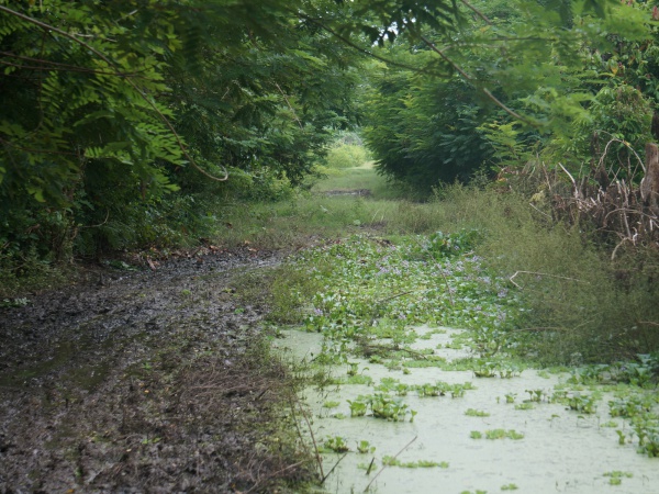
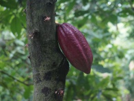
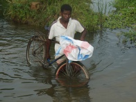
From Palma Nova to Ankify, part of the route through the cacao plantation is the most beautiful but which can get a bit tricky here and there during rainy periods. At other times, the many cross-crossing trails are perfect for biking.
| ||
|
|

|
Sunday, October 14, 2018 10:19 AM EAT
Distance: 13.5 miles
Duration: -32 minutes and -24 seconds
Average Speed: -8.8 mph
Minimum Elevation: 79 feet
Maximum Elevation: 79 feet
Total climb: 0 feet
Total descent: 0 feet
Ambanja to Diego
There's no need to describe the return route in words as it's the same route with the same accommodation, just some different pauses along the way.
Between Ambanja and Ambilobe
| 600px | ||
| 196px | 196px | 196px |
| 196px | 196px | 196px |
Thé-cola at S 13°30.089' E048°39.665'
